
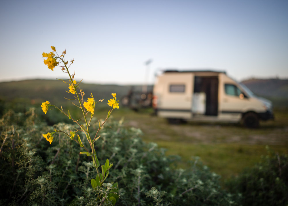
Again, for my son's annual national volleyball tournament in Orlando, FL, I decided to drive across the country in the middle of summer heat. Since this is my third time, I had the routes and campgrounds all planned out well in advance and was able to visit some of the places that I missed before.


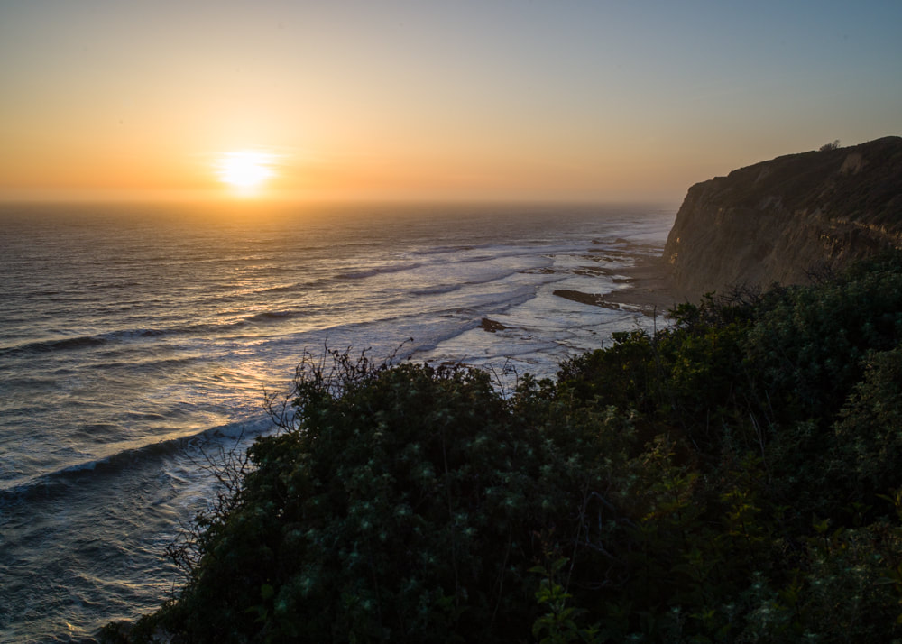
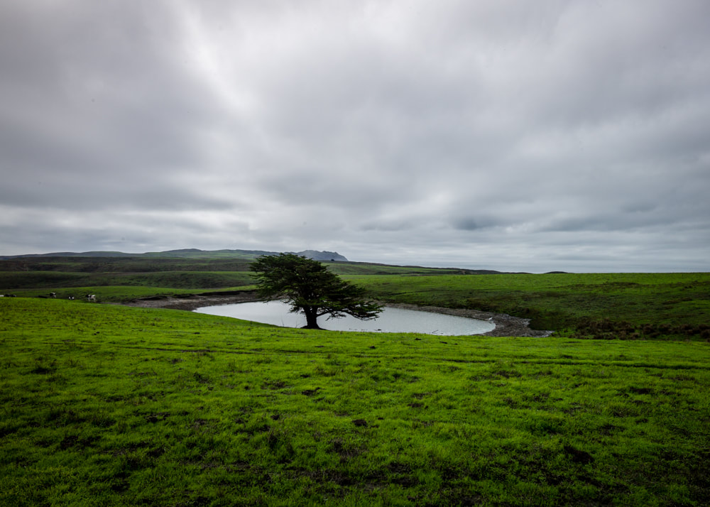
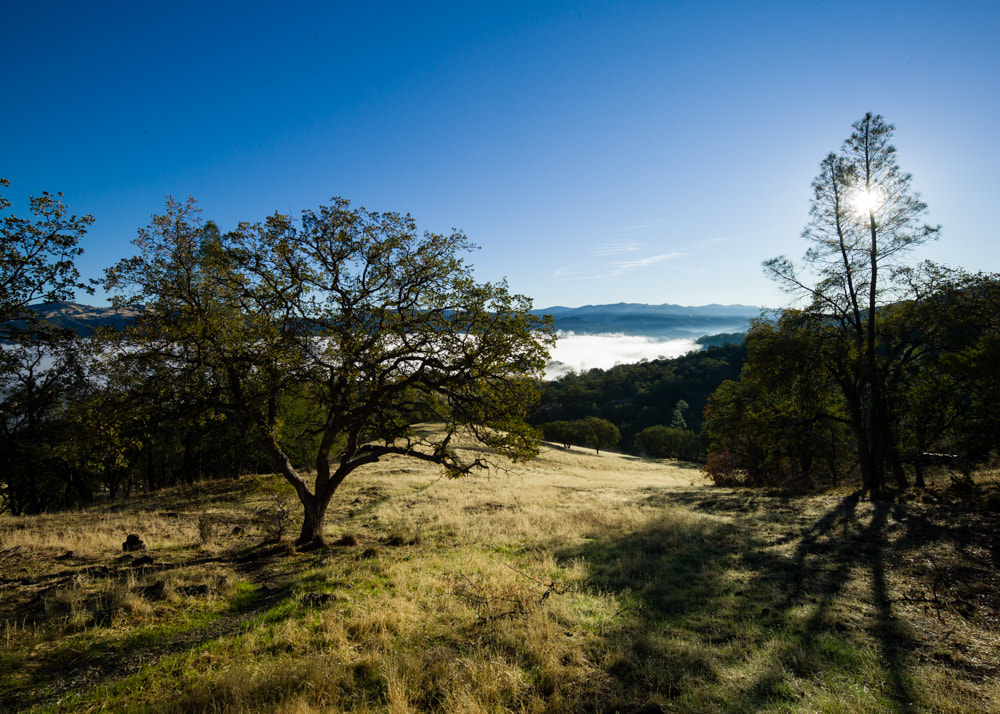
One of the places I've been wanting to visit was the Mogollon Rim in AZ. Met up with my co-worker who lives in Phoenix and we were able to camp comfortably even when the rest of the AZ was over 100 F. There were plenty of sites right by on the edge of the rim and offered incredible views.


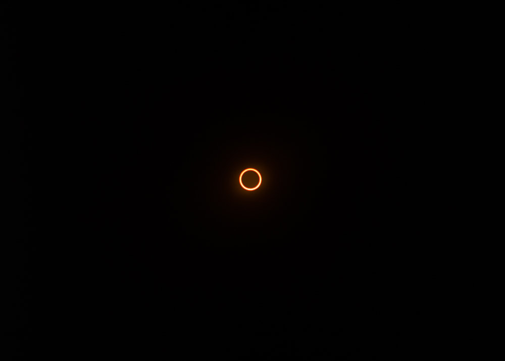
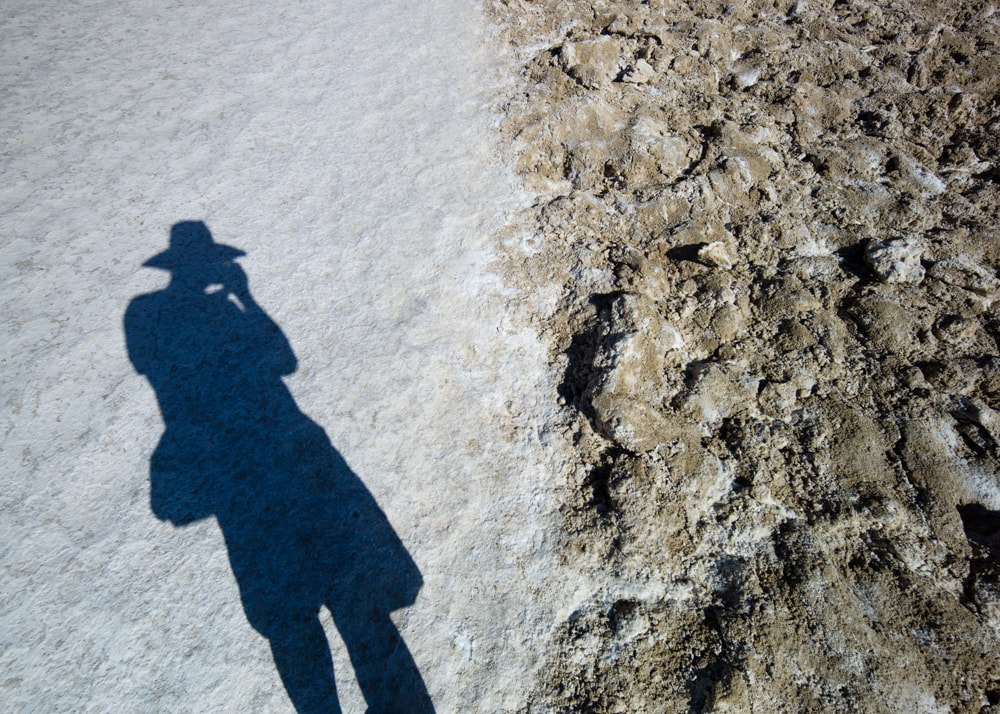
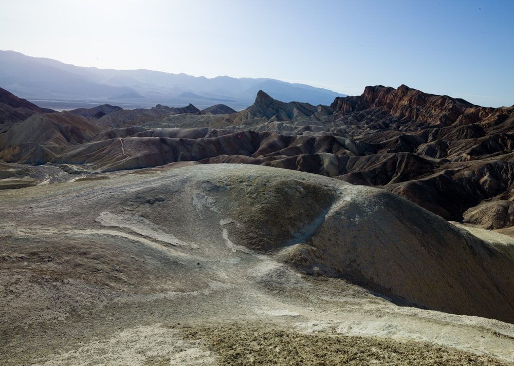
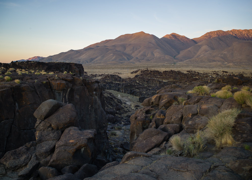
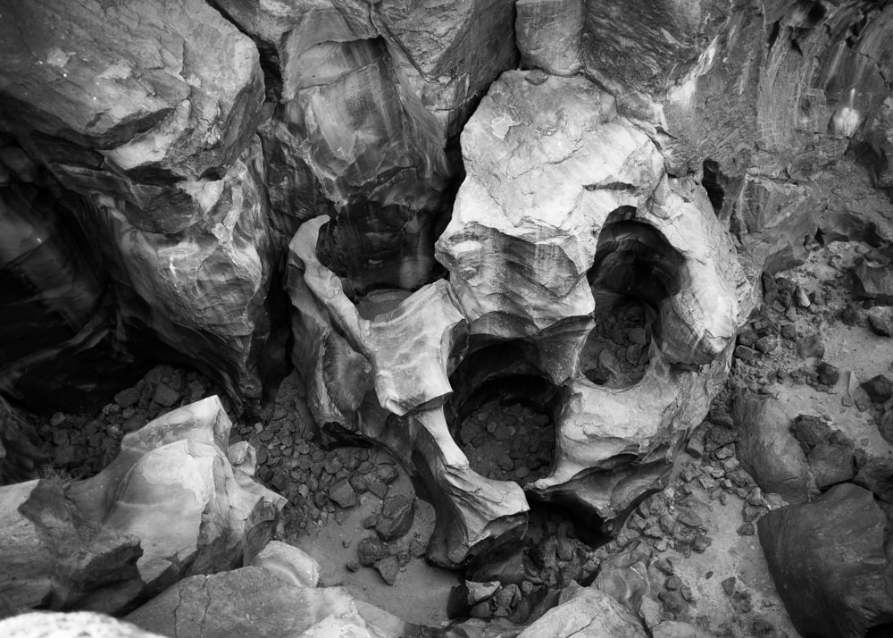
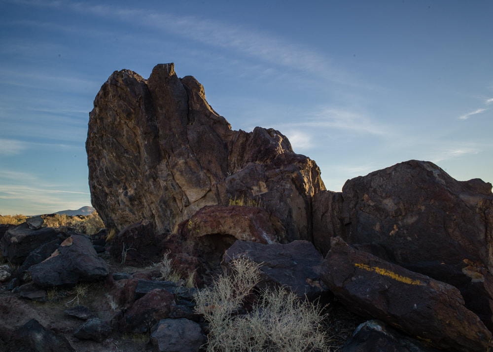
I just couldn't resist stopping by the VLA every chance I get. However, I did visit the San Lorenzo Canyon for the first time. Due to the wildfires in New Mexico, I had to adjust my plan to find a safe place in the Lincoln National Forest to stay overnight. What's that saying about the "best laid plans"?


Once I'm in Texas, it's all about the BBQ. At the Monahans Sandhills State Park, I met a couple of young men who were on their way westward from North Carolina. I gave them a few pointers about the places to visit and to free camp. It looked like they were on a great summer adventure.


Although I've stayed at the Big Lagoon State Park before, this time I forced myself to explore the park more, despite the heat and humidity. I walked a trail to the lake where a lone alligator was swimming in. I guess I won't be kayaking here in the future.

After the volleyball tournament, we drove up to Atlanta, GA to visit our nephew who just recently took a job there. He showed us around the city and followed us for a couple of days on our journey back westward. The Georgia Aquarium right in downtown Atlanta had a couple of whale sharks on display.


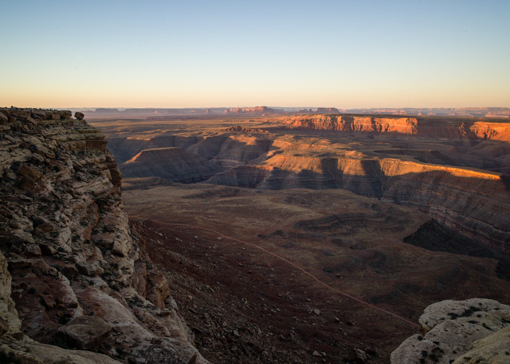
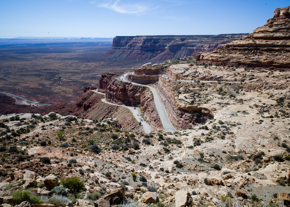
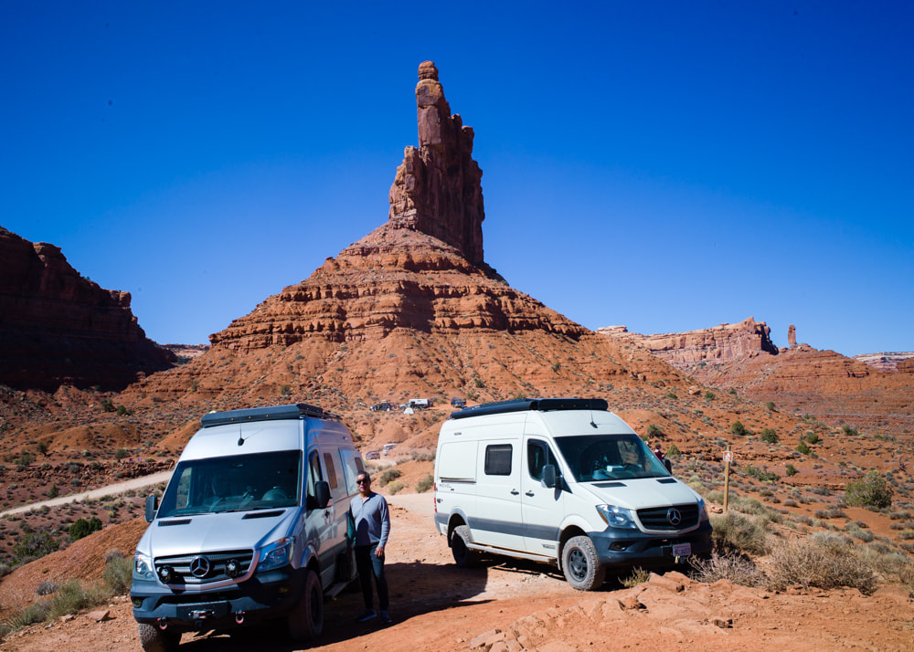
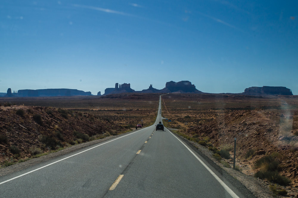
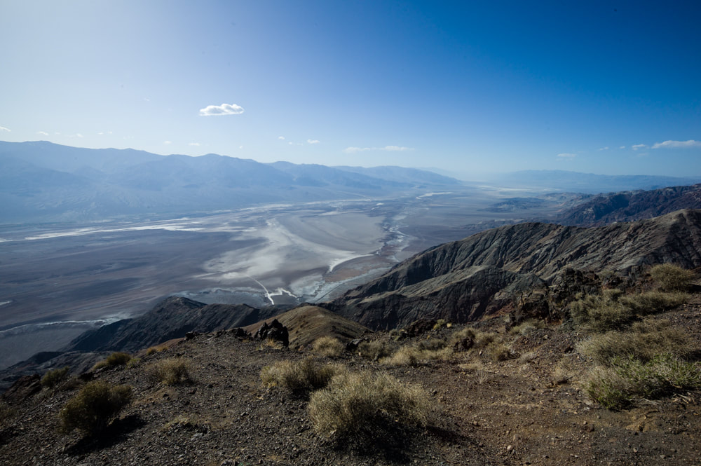
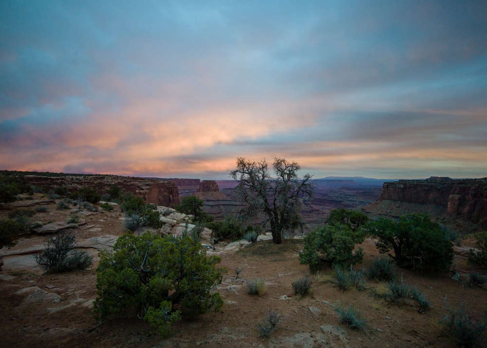
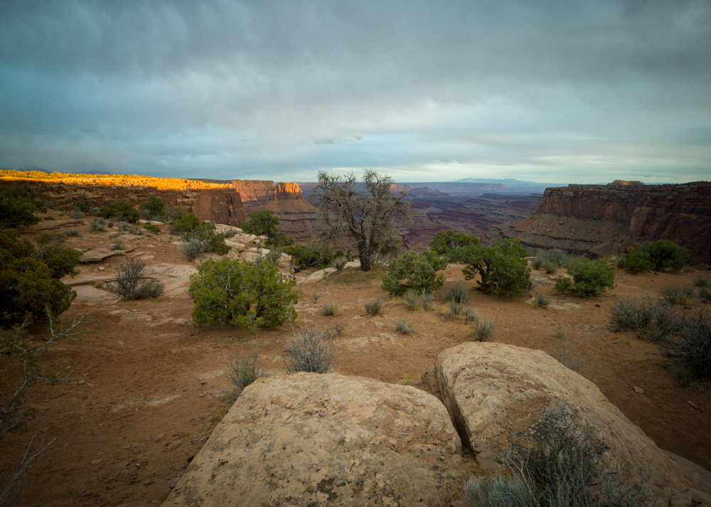
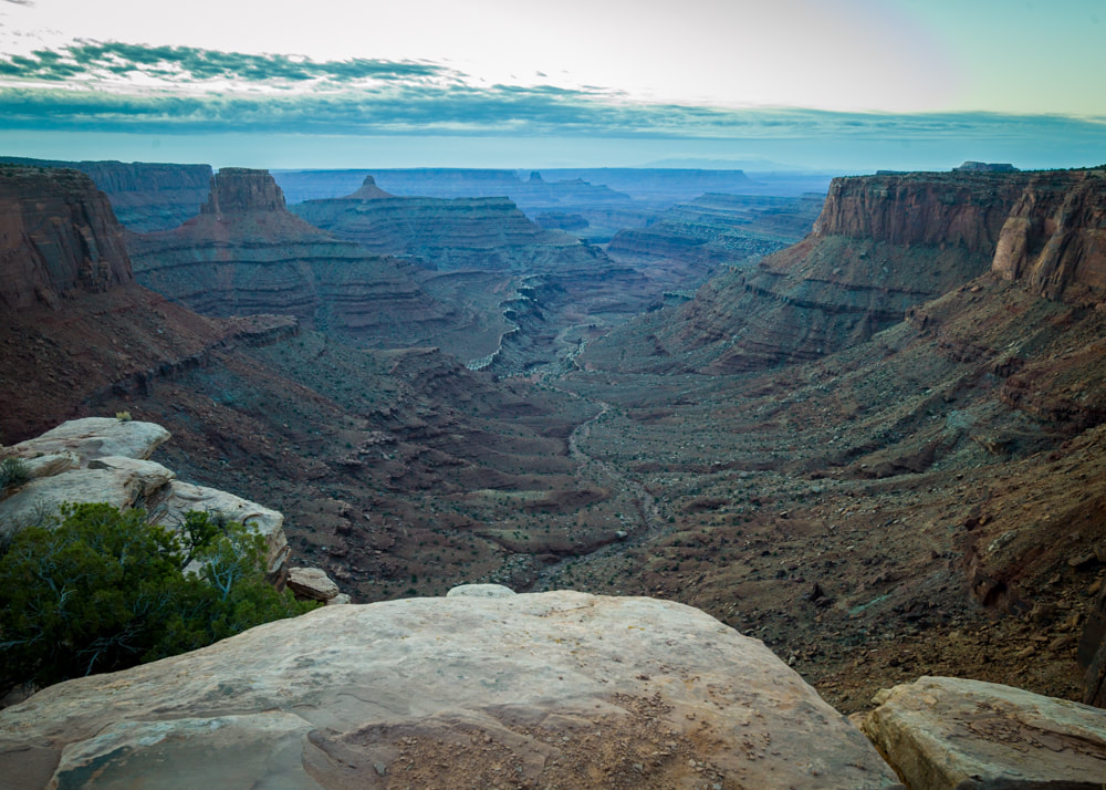
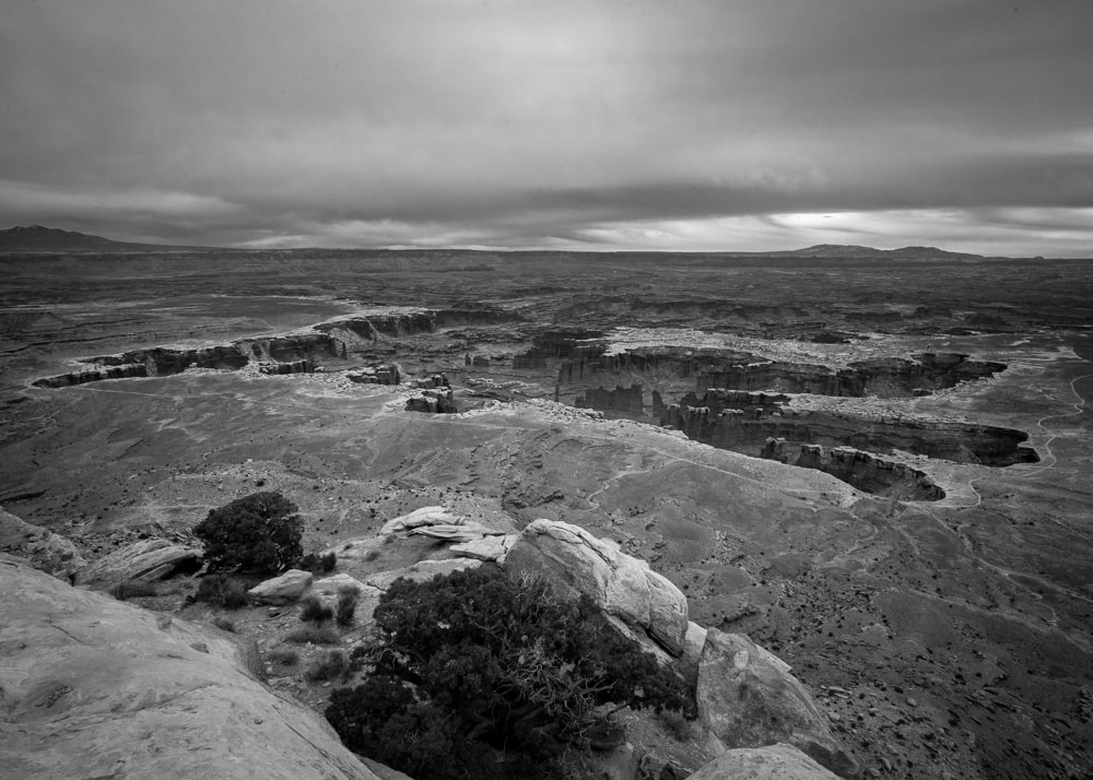
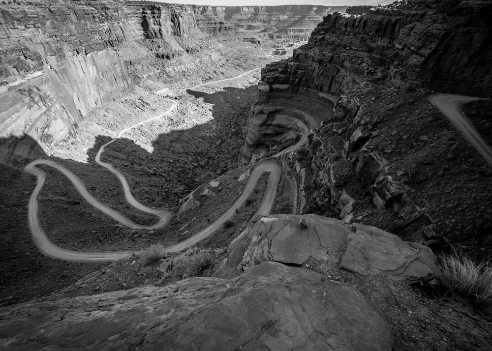
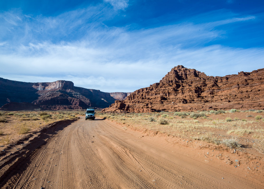
The passage of Missouri and Kansas was uneventful photographically. In Colorado, we did visit two more national parks that we've never been before. To end the trip on a high point, we camped at Muley Point, UT for an awesome view of the Monument Valley.


 RSS Feed

