|
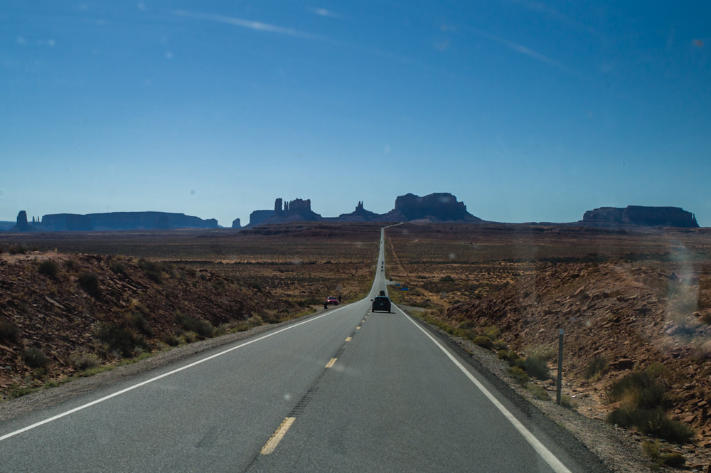
Again, for my son's annual national volleyball tournament in Orlando, FL, I decided to drive across the country in the middle of summer heat. Since this is my third time, I had the routes and campgrounds all planned out well in advance and was able to visit some of the places that I missed before. One of the places I've been wanting to visit was the Mogollon Rim in AZ. Met up with my co-worker who lives in Phoenix and we were able to camp comfortably even when the rest of the AZ was over 100 F. There were plenty of sites right by on the edge of the rim and offered incredible views. I just couldn't resist stopping by the VLA every chance I get. However, I did visit the San Lorenzo Canyon for the first time. Due to the wildfires in New Mexico, I had to adjust my plan to find a safe place in the Lincoln National Forest to stay overnight. What's that saying about the "best laid plans"? Once I'm in Texas, it's all about the BBQ. At the Monahans Sandhills State Park, I met a couple of young men who were on their way westward from North Carolina. I gave them a few pointers about the places to visit and to free camp. It looked like they were on a great summer adventure. Although I've stayed at the Big Lagoon State Park before, this time I forced myself to explore the park more, despite the heat and humidity. I walked a trail to the lake where a lone alligator was swimming in. I guess I won't be kayaking here in the future. After the volleyball tournament, we drove up to Atlanta, GA to visit our nephew who just recently took a job there. He showed us around the city and followed us for a couple of days on our journey back westward. The Georgia Aquarium right in downtown Atlanta had a couple of whale sharks on display. The passage of Missouri and Kansas was uneventful photographically. In Colorado, we did visit two more national parks that we've never been before. To end the trip on a high point, we camped at Muley Point, UT for an awesome view of the Monument Valley.
0 Comments
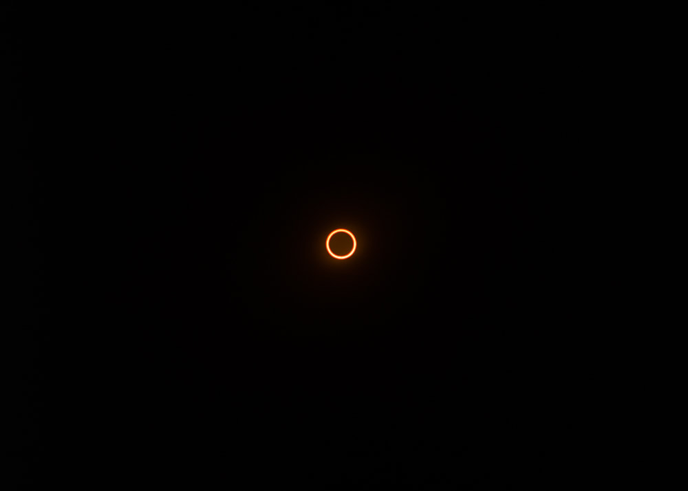
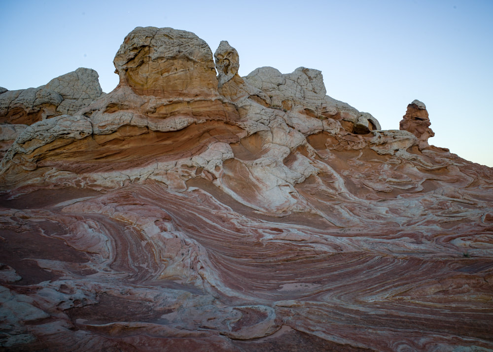
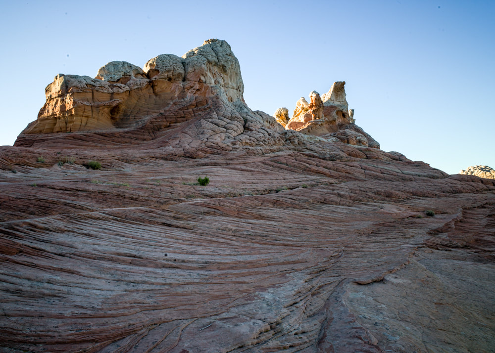
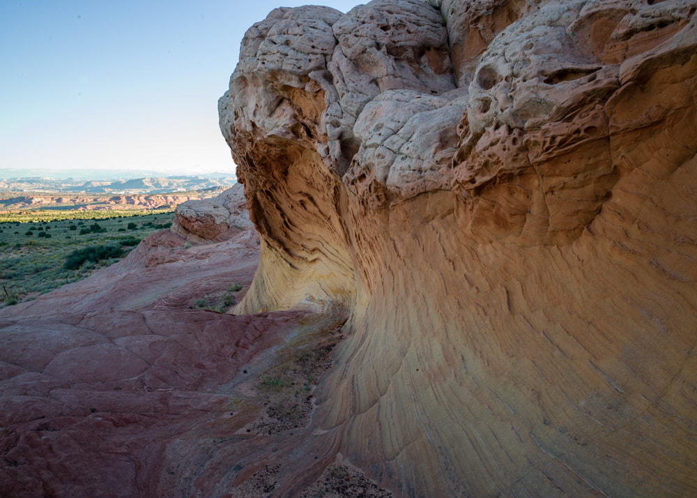
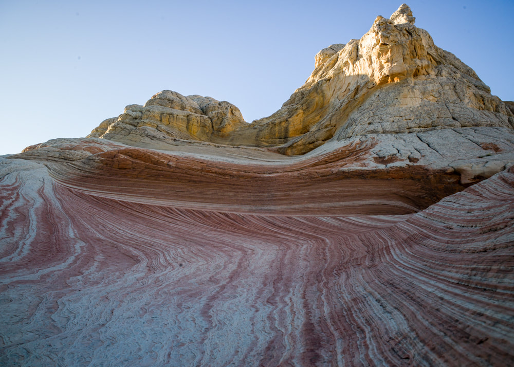
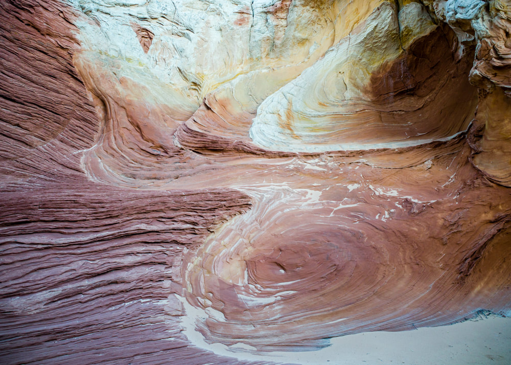
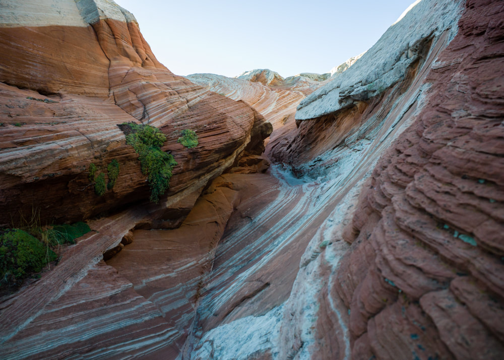
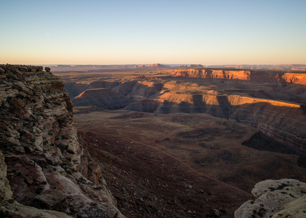
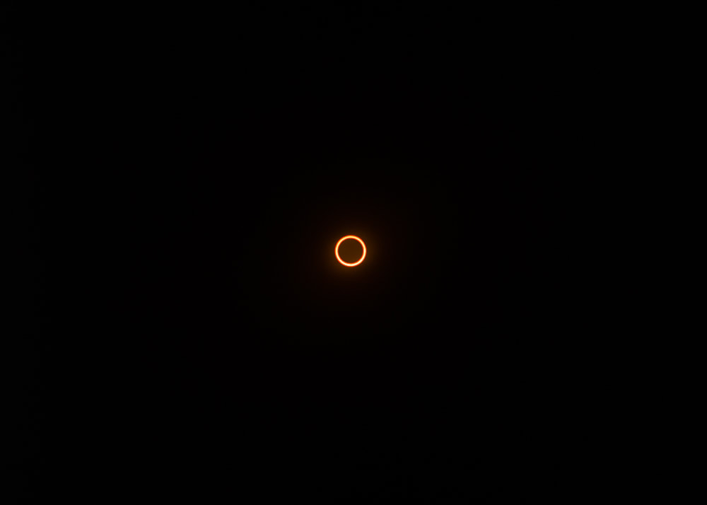
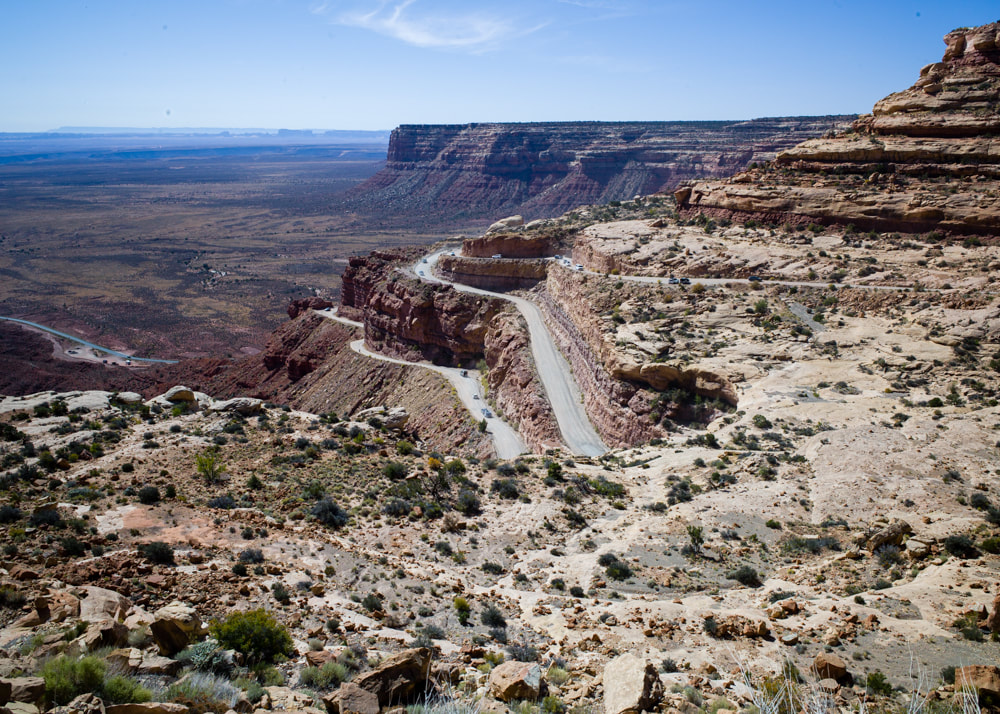
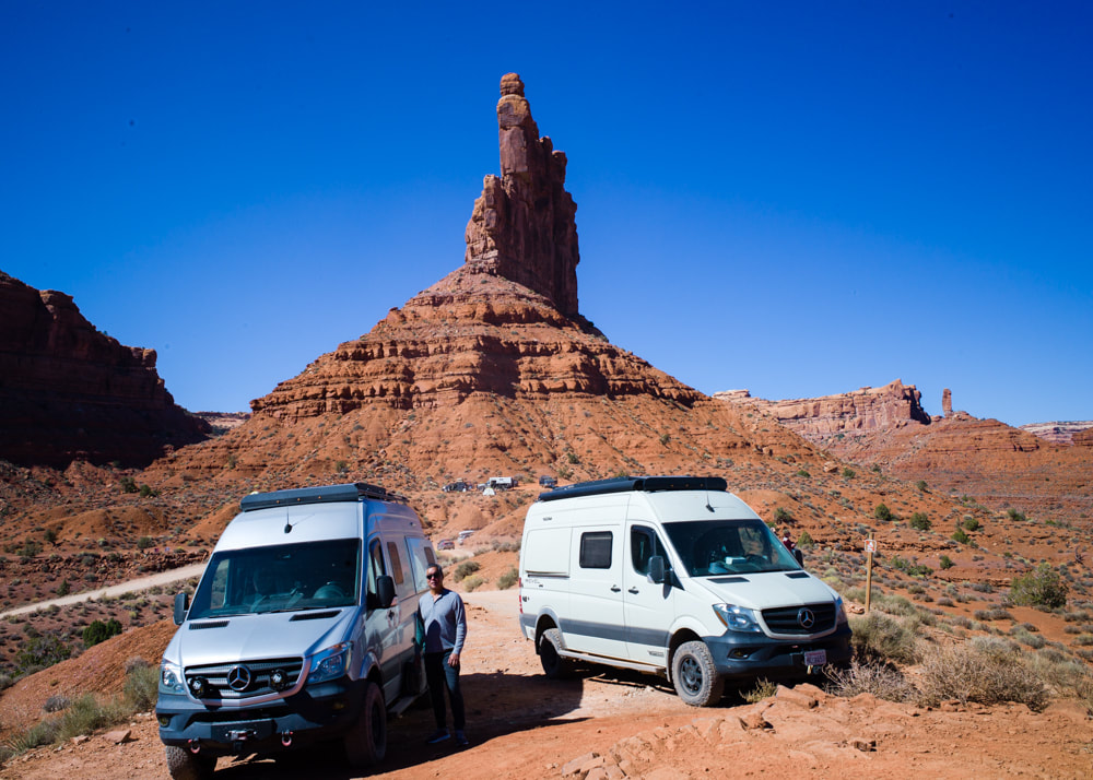
Well, there it is, the highlight of the trip. I tried stacking ND filters, but the easiest way was just to slap my solar eclipse glasses over the lens and take a shot. However, the journey actually started a few days prior to White Pocket. It's usually considered a consolation prize for people not winning the Wave Lottery, but I do think it really stand on its own for its beauty and the freedom of access and exploration. We wanted to watch the eclipse from Muley Point, just up the Moki Dugway, which was packed with campers. We were able to find ourselves a little open area to park up for the night. I had an idea to setup a timelapse video of the moon's shadow moving across the land as the eclipse progressed, but that didn't work out at all. Not only there's no shadow moving, the auto-exposure of the phone camera didn't even capture the dimming of the lights. After the eclipse, we waited a little to give other people a chance to clear out before driving down the Moki Dugway ourselves. From there, we visited Valley of the Gods. There, we could see people camping in every nook and cranny of any available pull-outs. Not much photos taken there because a lot of the pull-outs were still occupied by campers and there was a lot of car traffic for both directions. Throughout the trip, I had "In Search of Sunrise" by DJ Tiesto playing at the back of my mine. While the annular eclipse was cool, I feel it's only a pre-show for the total eclipse next year. Even at its peak, everything was still brightly lit with only 20% of the sun, so I'm really looking forward to see what it'll be like with a total eclipse. I guess I'll find out next April. Here are all the photos from this trip [CLICK HERE].
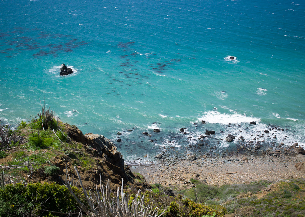
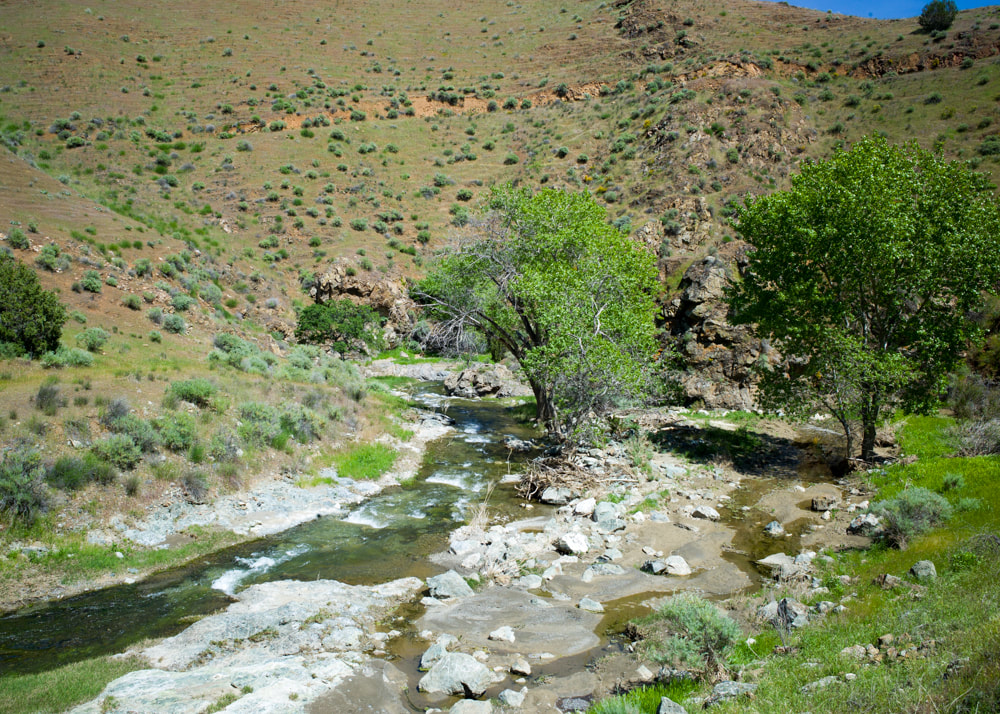
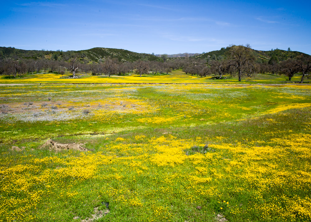
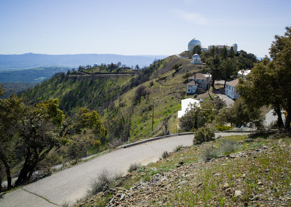
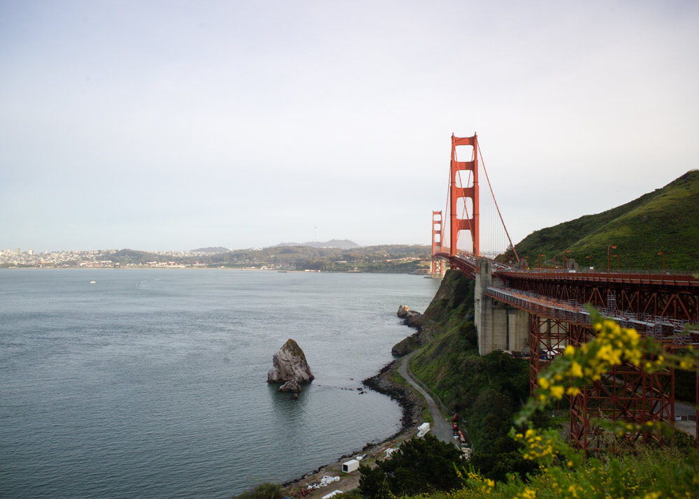
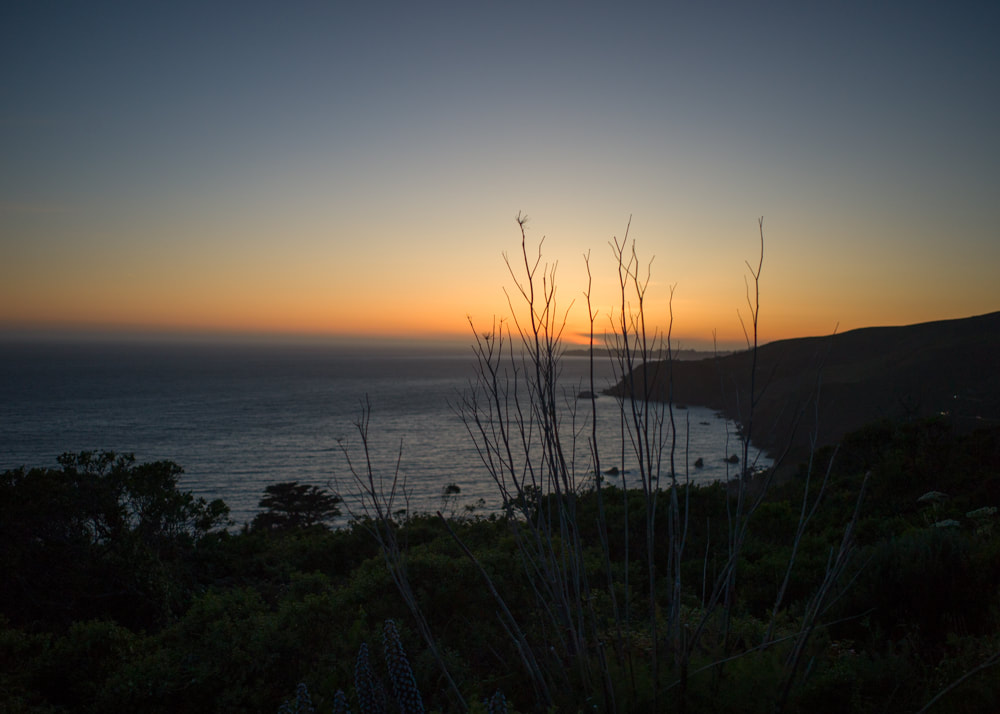
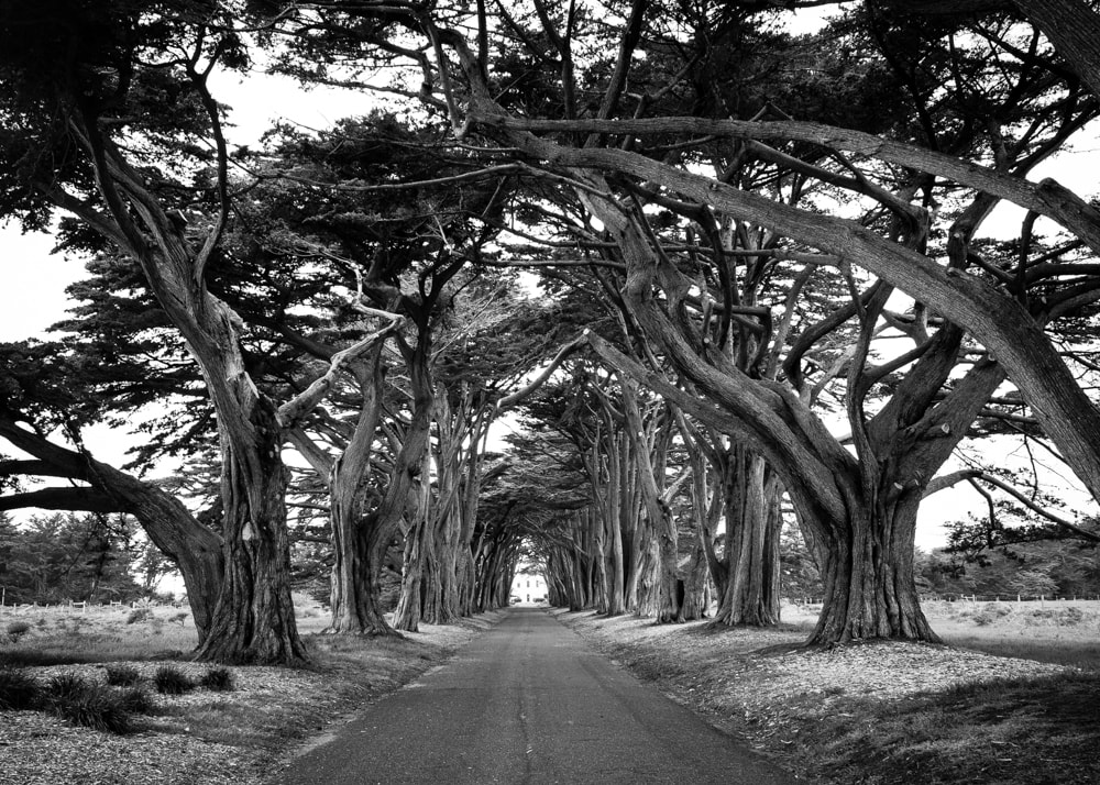
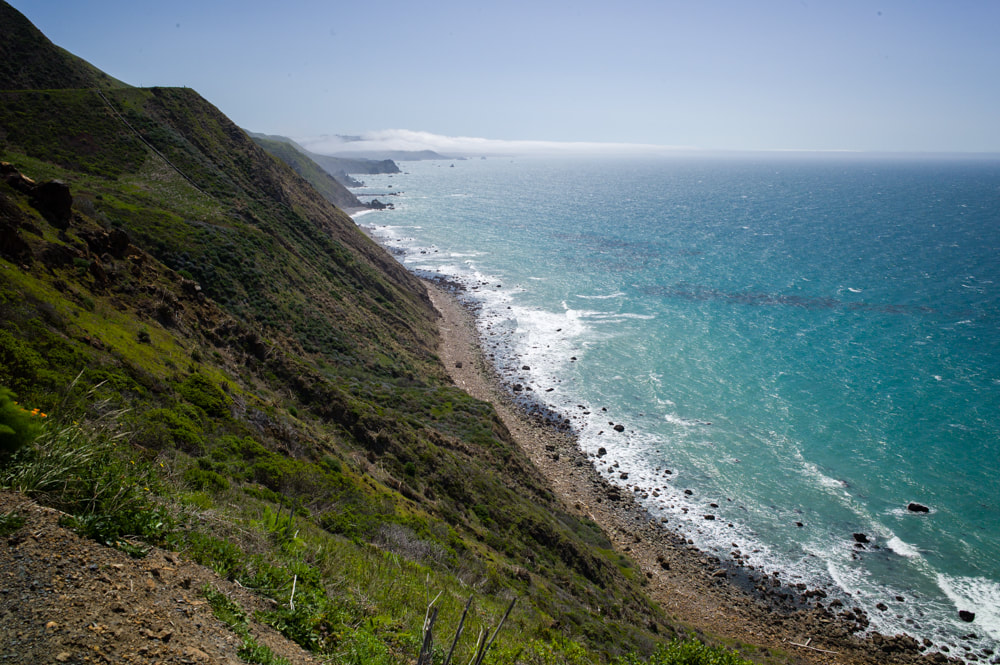
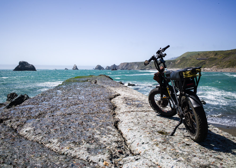
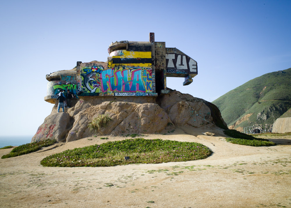
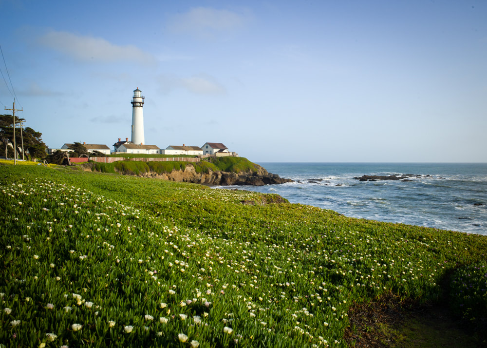
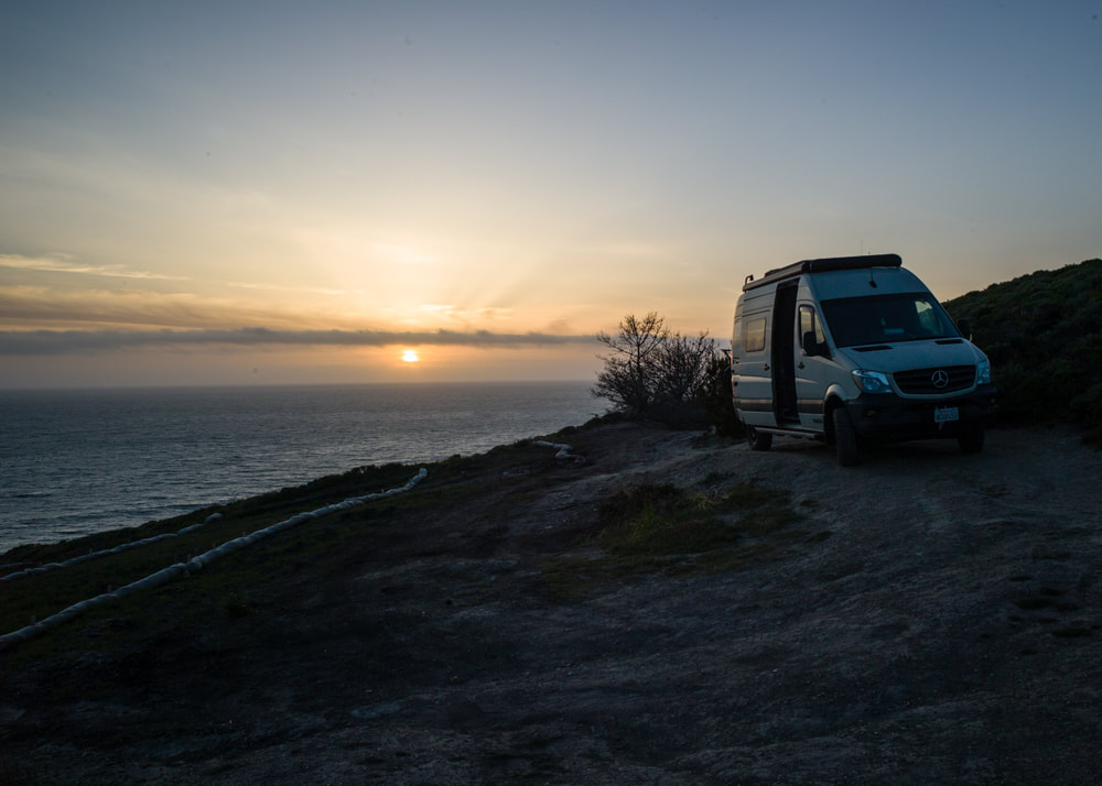
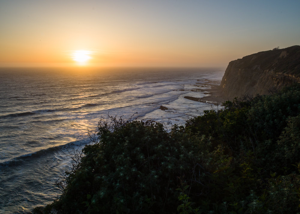
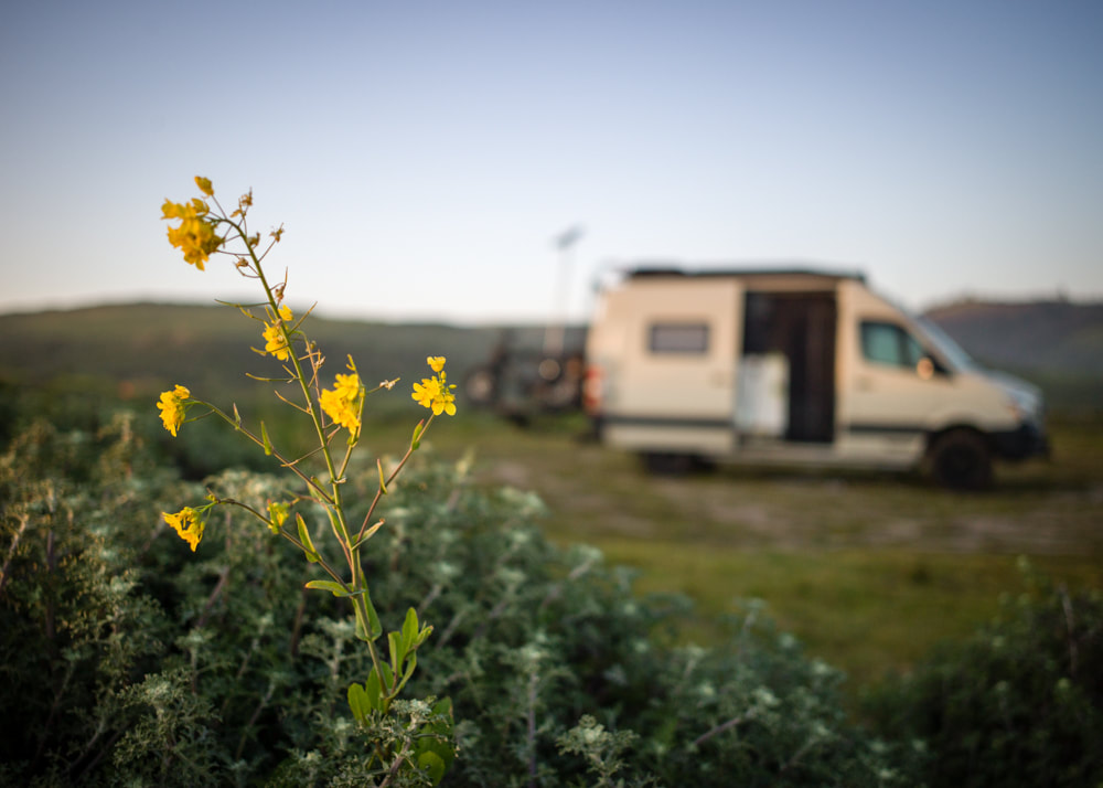
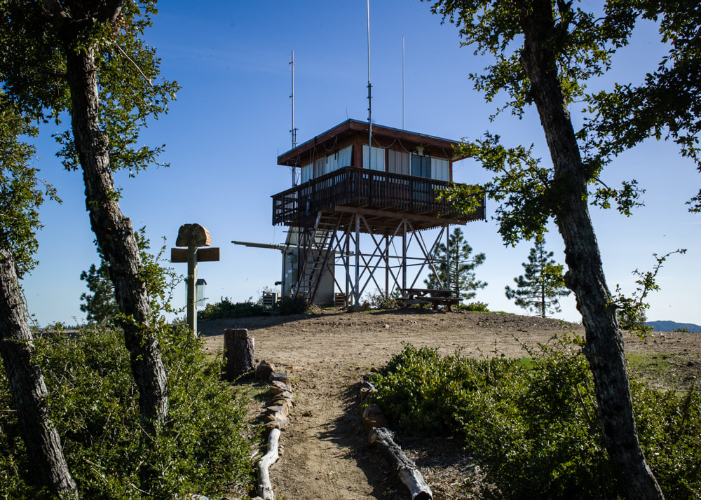
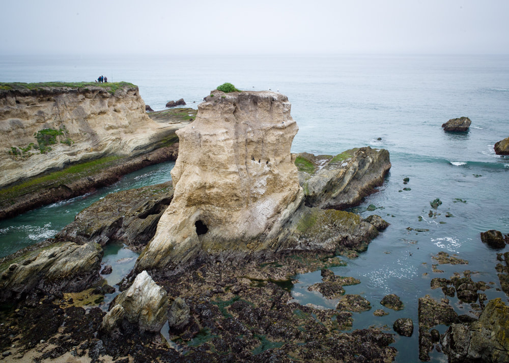
I was fortunate enough to link a few events together which resulted in a trip to NorCal. I had a lot of time to just explore, so I decided to take Highway 130 to cross from Interstate 5 to San Jose, instead of the normal Highway 152 through Gilroy. The eastern side of the drive took me through some canyons with great sceneries, the San Antonio Valley which is in the middle had great flower blooms in the plains. The road also passes through the Lick Observatory which had around 10 different telescopes. The goal for the first day is to reach Muir Beach and boondock in a viewpoint. Woke up the next day and headed towards my happy place: the Cypress Tree Tunnel in Point Reyes National Seashore. Then, I wanted to drive up to the Glass Beach at Fort Bragg. However, after driving an hour on the PCH, I turned around because I didn't want to drive the full 6 hours on the twisty, up and down, and windy path when the scenery doesn't change that much. Instead, I drove back down and explore many things that I've marked on my map. Monday, after the van got its much needed maintenance, I continued the drive down PCH from Pacifica. I rode my bike around the Devil's Slide area and ended up in an incredible boondocks site that I found by pure luck. It was so awesome that I decided to stay an extra day just to soak it all in. Since I had some extra time on my hands, I took some drone shots and made a video. Since large portions of PCH was closed due to the recent rain storms, I started making my way inland from Santa Cruz. Rode my bike in the Forest of Nisene Marks State Park, which was beautiful and reminded me of Muir Woods. Following the Carmel Valley Road, I visited the Chews Ridge Fire Lookout, then ended the day camping at Williams Hill Campground. Finally, I drove towards Montana De Oro State Park near Morro Bay where I met up with 20+ Winnebago Revel Owners and had a blast. The park offered many biking and hiking trails, but it was pretty foggy the whole time we were there. A ride on the Bluff Trail offered many great viewpoints.
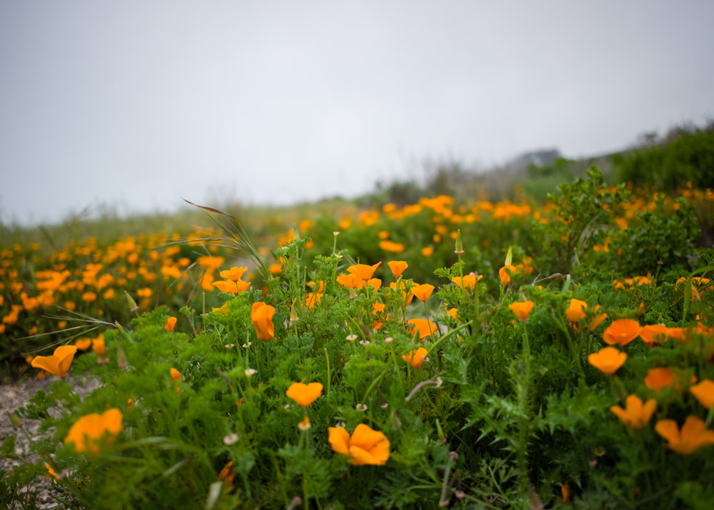
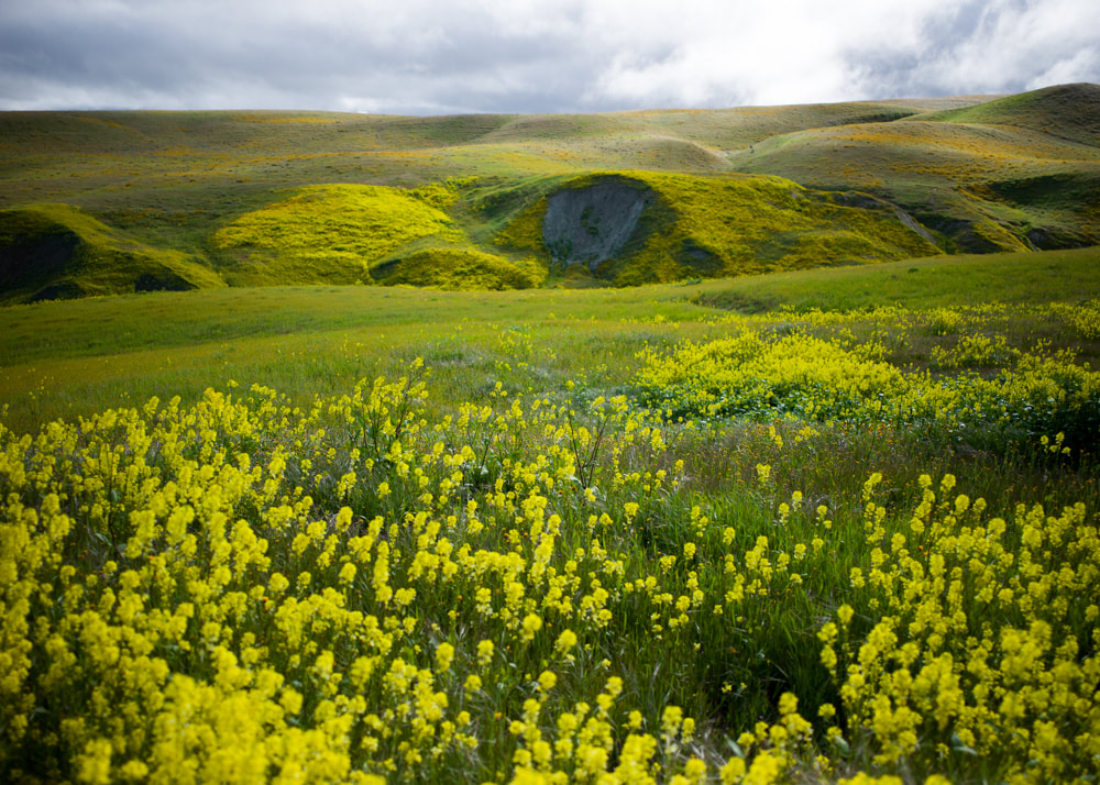
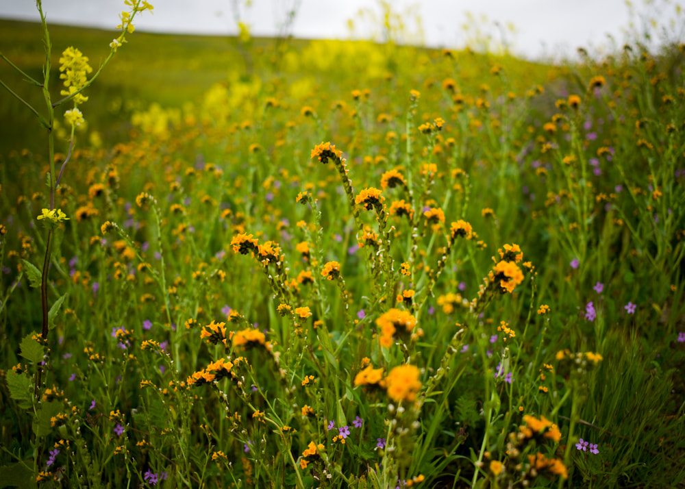
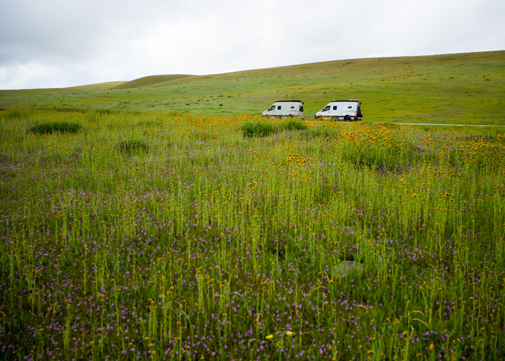
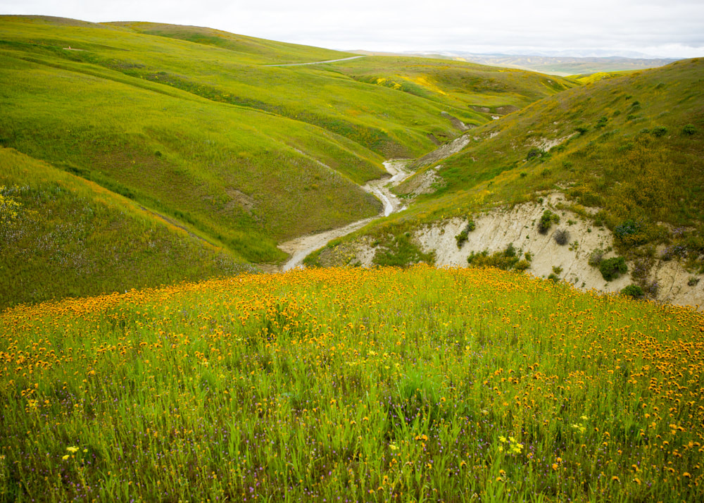
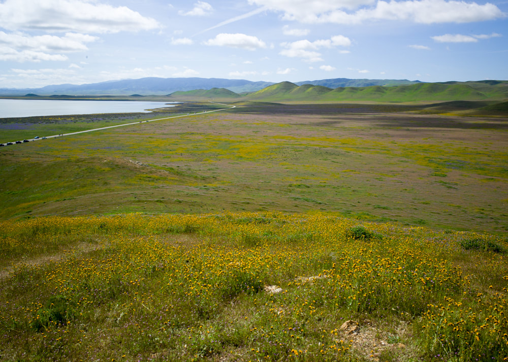
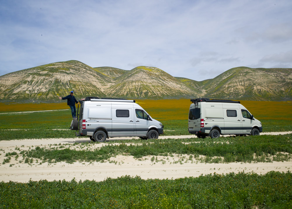
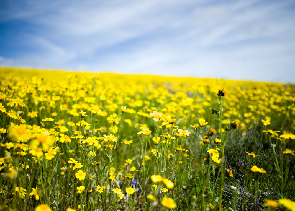
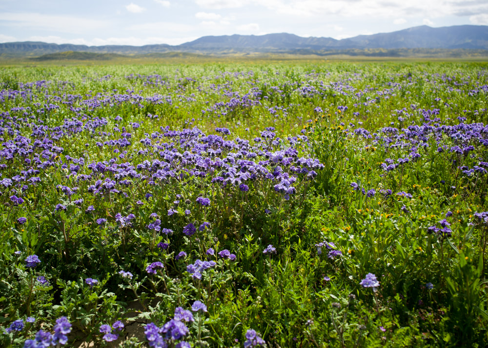
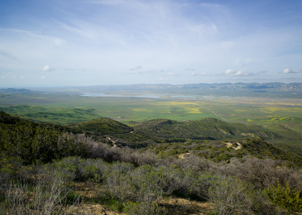
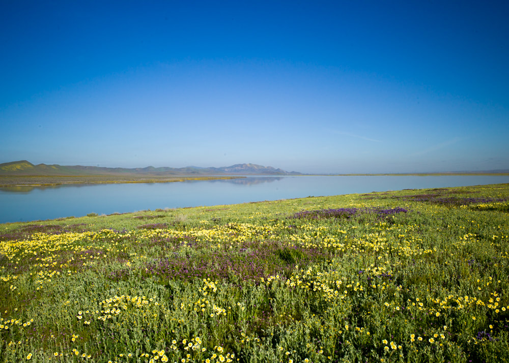
After years of drought, California has received more rains than I can remember in the past few months. The conditions are ripe for a superbloom in the Carrizo Plains National Monument. I drove up Friday night and camped along Shell Creek Road in a pullout in a gloomy night, hoping the weather will turn better the next day. Next day morning, it was still foggy and overcast, but the sun will peek through at times. We got a tip from another fellow photographer to check out Bitterwater Road and it did not disappoint. The rolling hills were covered with bright yellow flowers with some oranges mixed in between, and we're not even in the Carrizo Plain proper yet! Once we drove into the plain and saw how crowded it was, we decided to take the Elkhorn Road and explore the foothills first. It was a mild off-road adventure, but very relaxing, definitely beats sucking on someone else's dust trails down in Soda Lake Road. However, it was unavoidable. In order to see some of those purple patches, we had to drive down into the plain and check it out up close. Eventually, we had to drive high up the Cliente Mountain to find a spot to camp for the night. The roads up the mountains were kind of rutted, but the views on top was quite spectacular. I still got the feelings that we were there a bit too early for the full bloom, so maybe we'll come back to revisit in a few weeks. See the full set of photos [HERE].
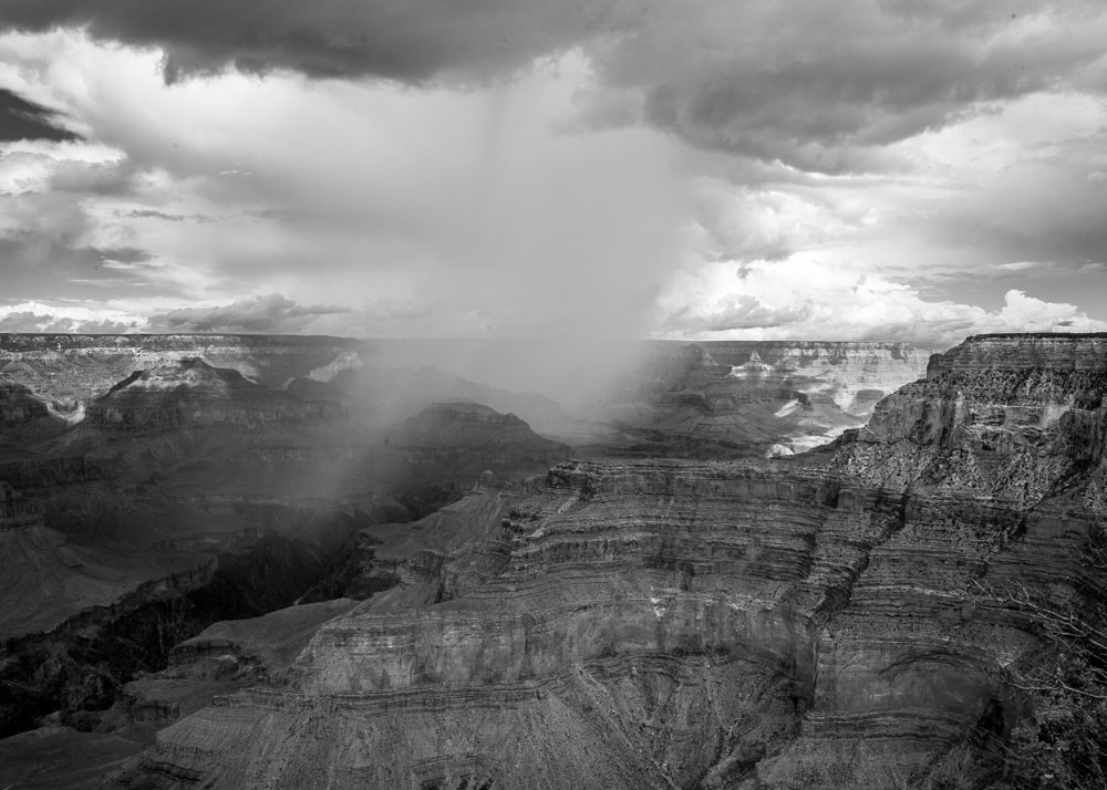
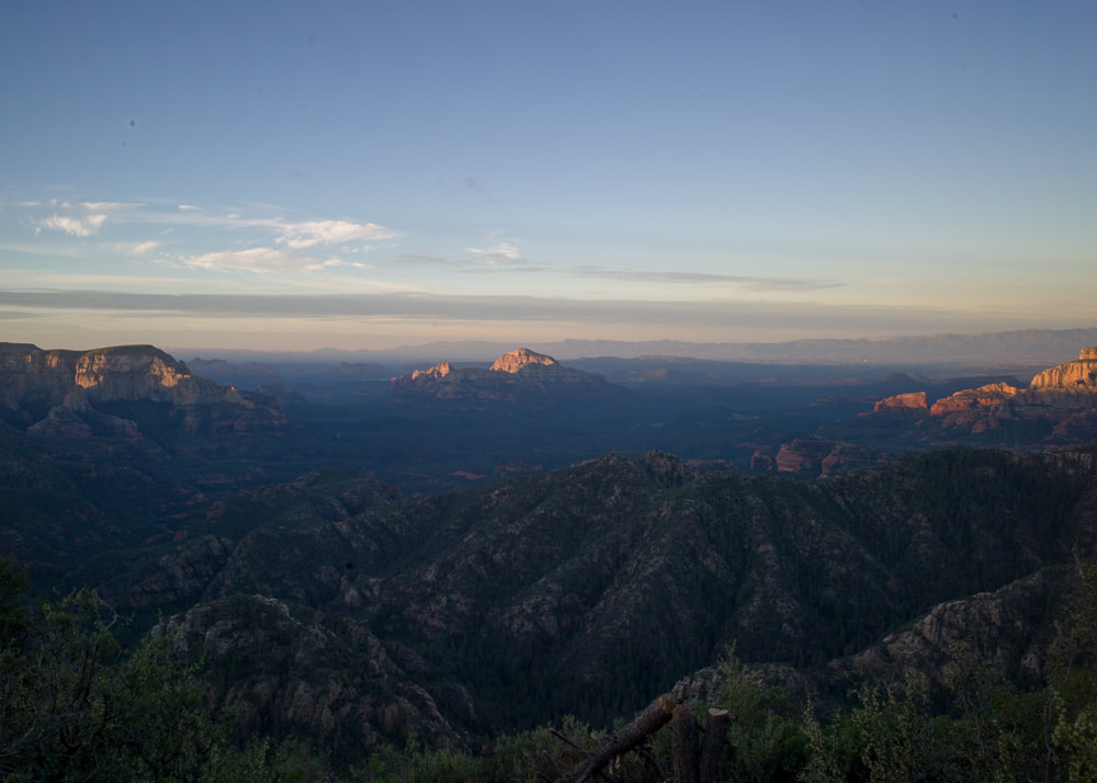
We took a quick trip to Grand Canyon and Sedona this past weekend just before the school start. I can't believe my son is starting high school already. The monsoon season is stronger this summer which gave us some dramatic views with clouds and rain. We took a bike ride along the south rim and then camped at a nice spot north of Sedona, called Edge of the World. Check out the sunrise view below:
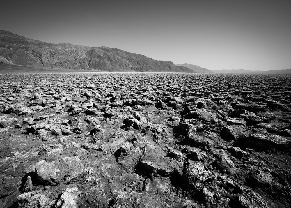
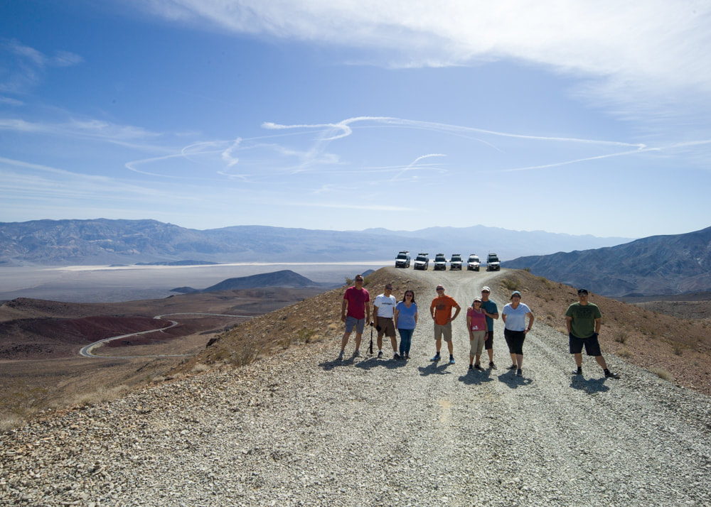
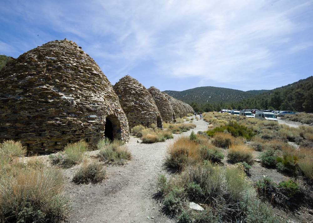
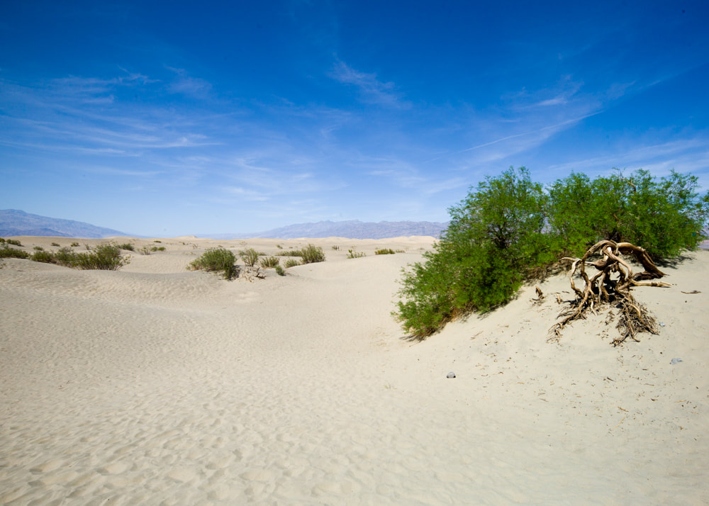
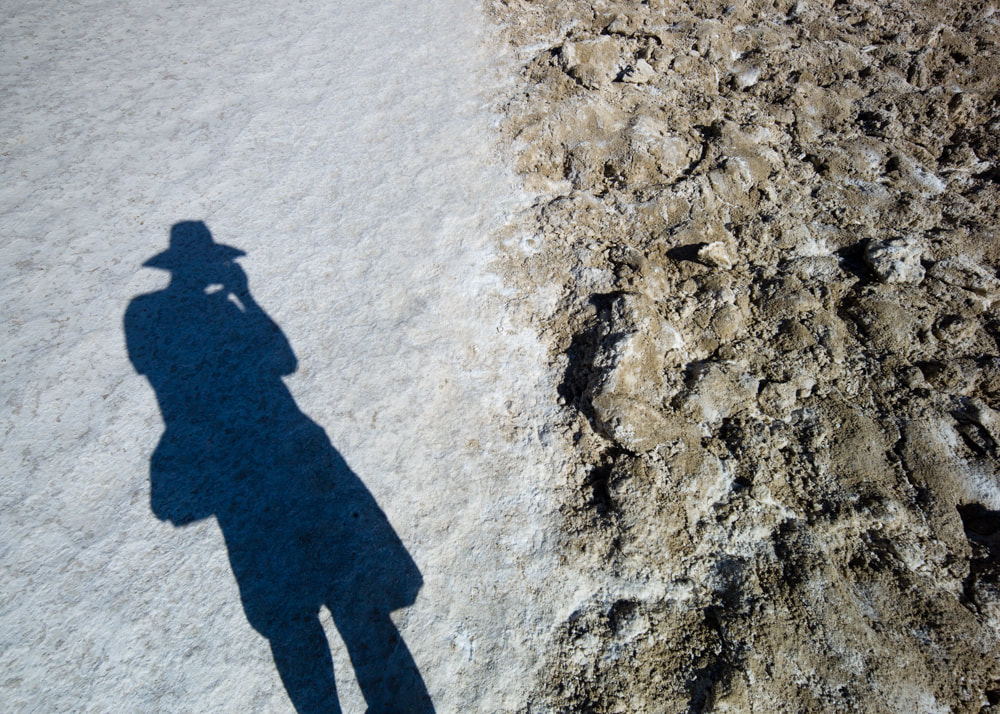
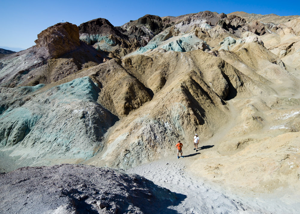
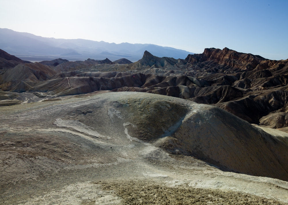
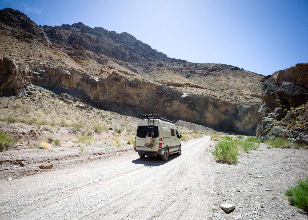
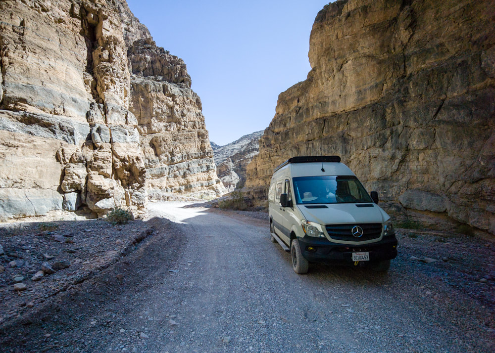
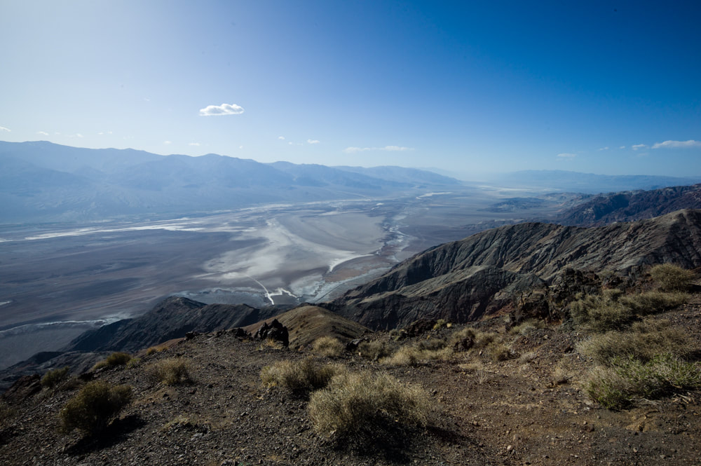
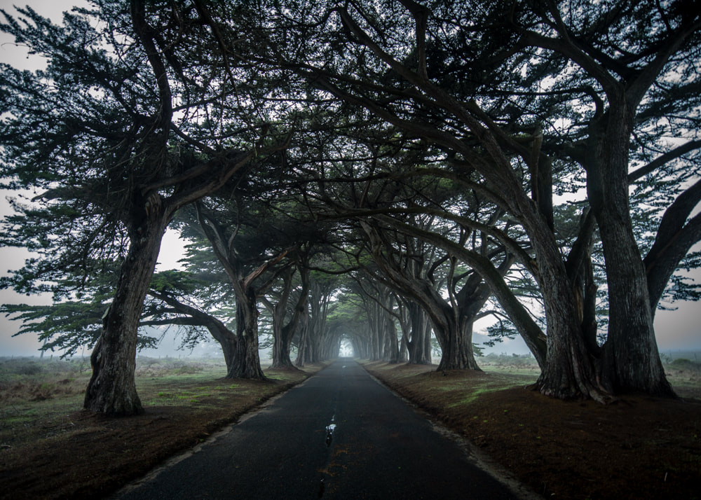
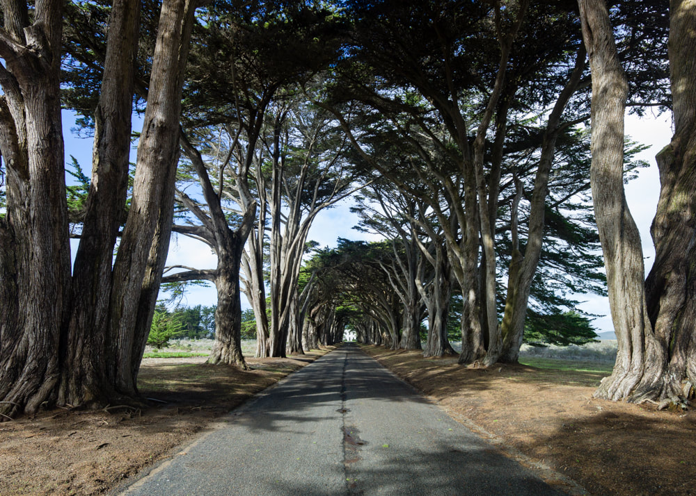
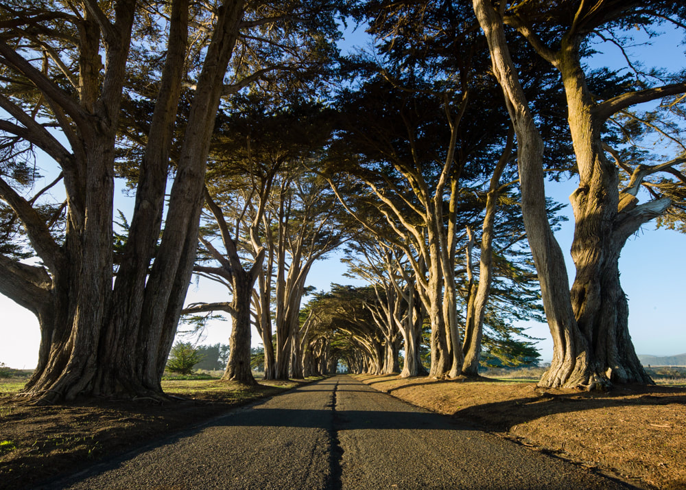
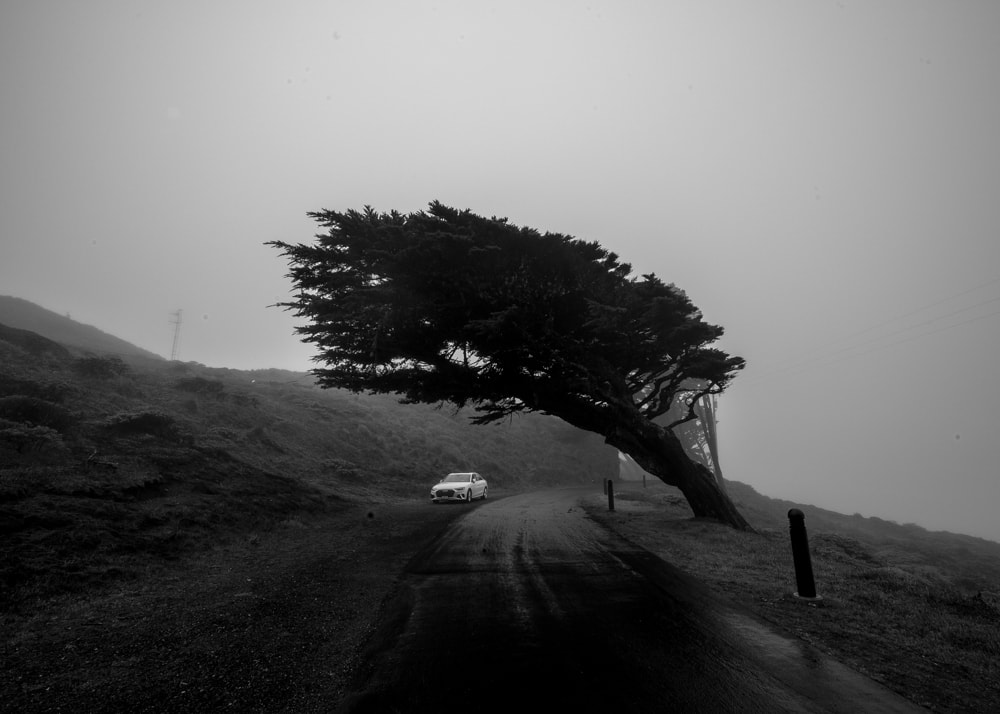
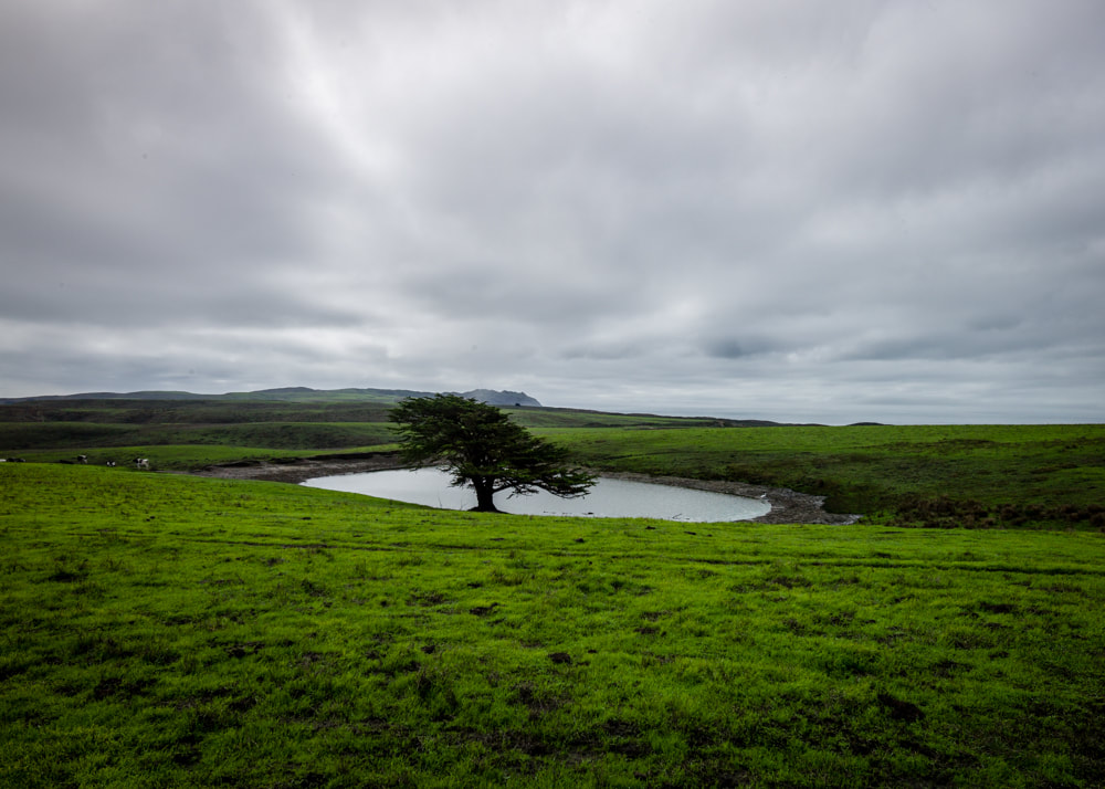
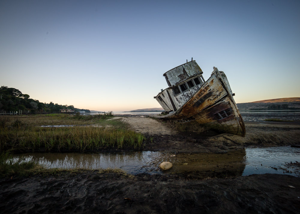
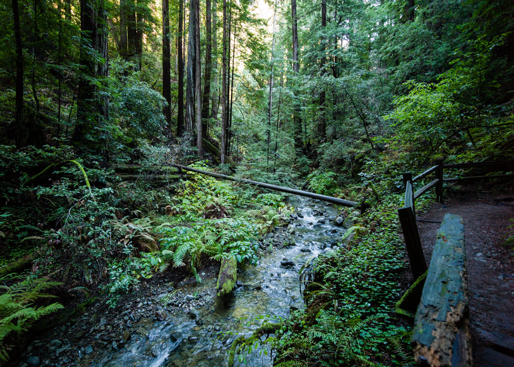
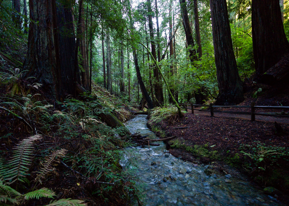
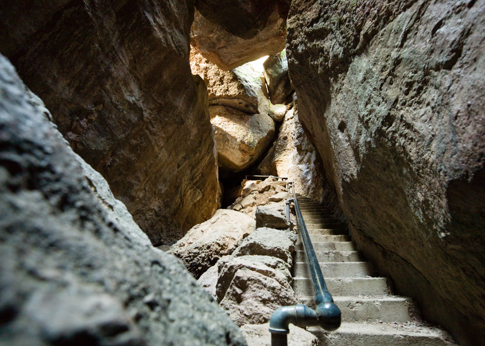
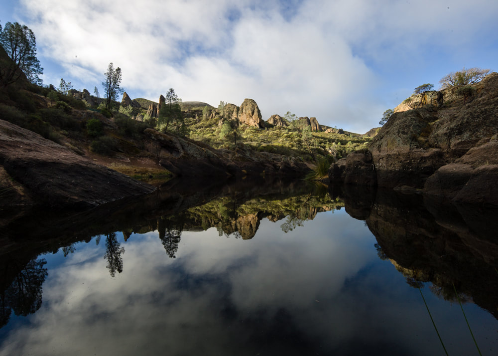
Took my first trip into the Death Valley National Park with a few other Revel owners this past weekend. Lucky for us, the temperature reach a nice sweltering 105F just for us. In the dry heat, 85F felt cool. I could really understand where the name came from after seeing how unfriendly to life this place was, and it wasn't even summer yet! Before entering the park from the west side, we visited some interesting places just outside of the park. Father Crowley Overlook, also known as Star Wars Canyon, is known for watching fighter jets flying through the canyon. We weren't so lucky to see that, but we did spot a fighter jet snaking high in the sky. The road to Wildrose Charcoal Kilns gave us the first taste of off-road driving. We didn't feel the heat until we entered the park proper and stopped at the Mesquite Flat Sand Dunes. The heat came from the sun above, as well as the sand below, prompting us to make this a very brief stop. Continuing our tour of the park, we reach the lowest point in North America, Badwater Basin, which was -282 feet below sea level. Someone was nice enough to put a sign halfway up the cliff to mark where the sea level actually was, so we can fully appreciate just how low we were. The Artist Drive which took us to the Artists Palette Overlook was worth the small detour. The view from Zabriskie Point showed us two different types of badlands, one was just plain gold sand, and the other had layers of different sediments drawing lines on the walls. Second day, driving through Titus Canyon was what everyone was waiting for. It's one-way only, so we didn't have to worry about oncoming traffic as we snake our way up the narrow mountain passes and between the tight canyon walls. I will post a short drone video below of the final stretch of the drive. Ending the day at Dante's View was just the perfect way to cap off our adventures in Death Valley National Park. Just got back from my longest solo excursion to date, spending about a week driving up and down California. Doing it by myself means I can stop the car whenever I see something I want to photograph, visiting places in my photo bucket list for a while now. Took about 400 shots, all with the WATE, and processed about 50 of them, you see the full set [HERE]. I spent one whole day just driving around Point Reyes National Seashore, and of course, I visited the Cypress Trees Tunnel. In fact, I drove by it 3 times on purpose, to try to capture it in various time of day. I especially love the misty morning, it brings so much more interest and mystique. Point Reyes has various terrains and wildlife which made it quite interesting to just explore each dead-end road, also the surrounding areas like Tomales Bay State Park and the quiet town of Inverness are not to be missed. I did quite a few 2-mile short hikes, but if you want to take on some of the longer hikes, you might need to plan to visitor the area for multiple days. After boondocking on the side of PCH for a night of listening to crashing waves, I headed into Muir Woods. From my research, there is a backdoor way of exploring the trails via Mt. Tamalpais State Park so you don't have to deal with the parking reservation system of Muir Woods. If I let my imagination run a bit, I can still see some traces of Endor from Star Wars in my pictures. Last stop was Pinnacles National Park. Strangely, I've never even heard about this place until it was made into a national park in 2013. It's not a very large park, nor does it has the grand views of Yosemite or Grand Canyons. I went on the Bear Gulch Cave Trail, where the "cave" is formed by lots of fallen boulders, and the trail take you through and boulders and up to a reservoir of calm waters. The campground is very nice and spacious, will have to come back again with the family.
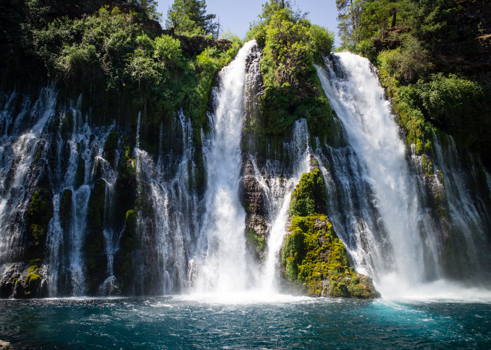
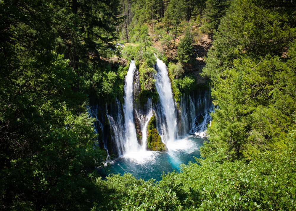
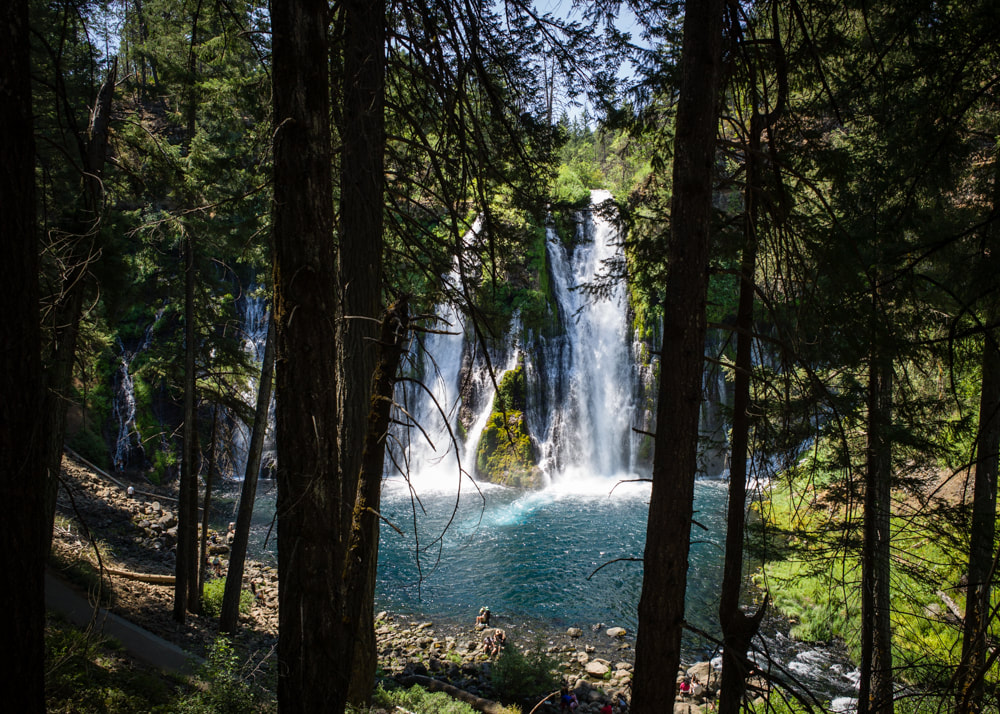
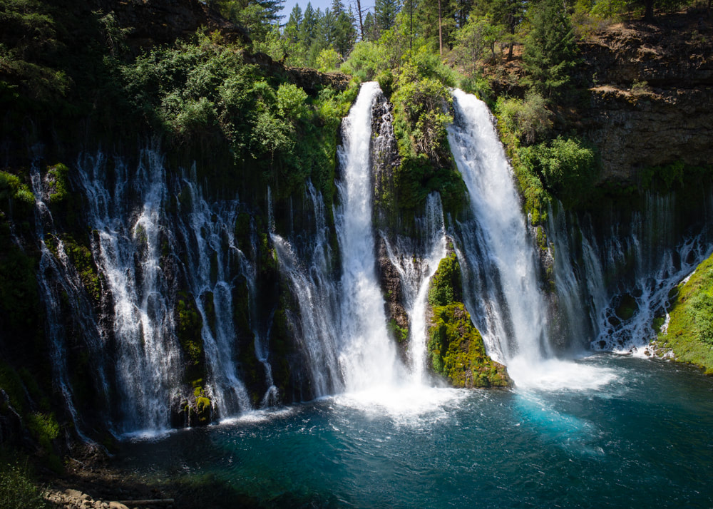
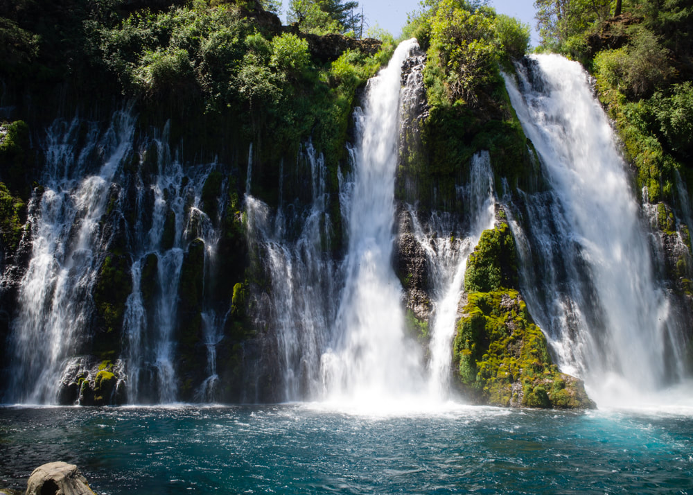
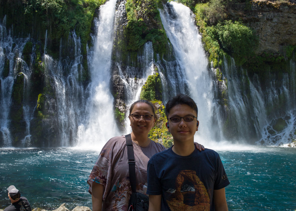
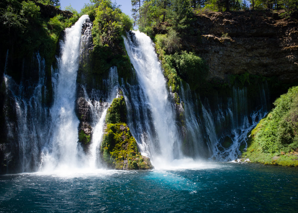
For the past week, we retraced our Oregon Roadtrip from a couple of years ago. And, of course, we added a few new stops along the way, too. Burney Falls in the McArthur-Burney Falls Memorial State Park was something that we missed last time. I'm so glad to catch it this time around as it was just amazing. The waterfall is very accessible. From the parking lot, you simply walk down a winding paved path and you'll start to get some glimpse of the waterfall through the trees. Once you get down, the evaporative cooling took the temperature from high 90's to a cool 70+, it's like a natural air conditioning! Besides the main streams that falls from the top, there are lots of water seeping through the moss-covered rocks on the sides, and that's the real beauty of the waterfall, to me. From the photos, you can see the clear blue pool of water, but you don't see a lot of people swimming in it. That's because by the time you get down there, the air temperature drops significantly, and the water felt like freezing cold. It was too cold for us, even in the peak of summer season. I'm super glad that we were able to visit this amazing waterfall this time around.
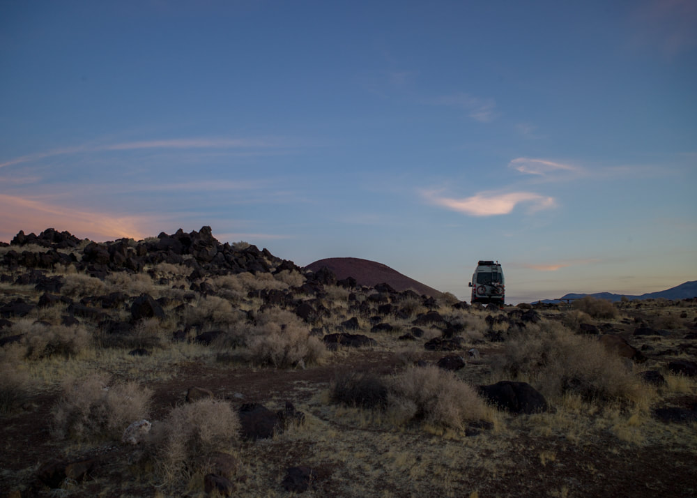
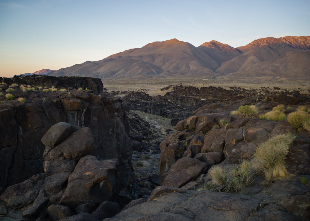
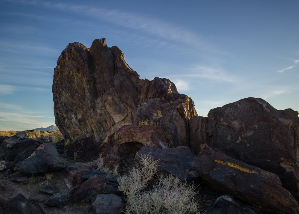
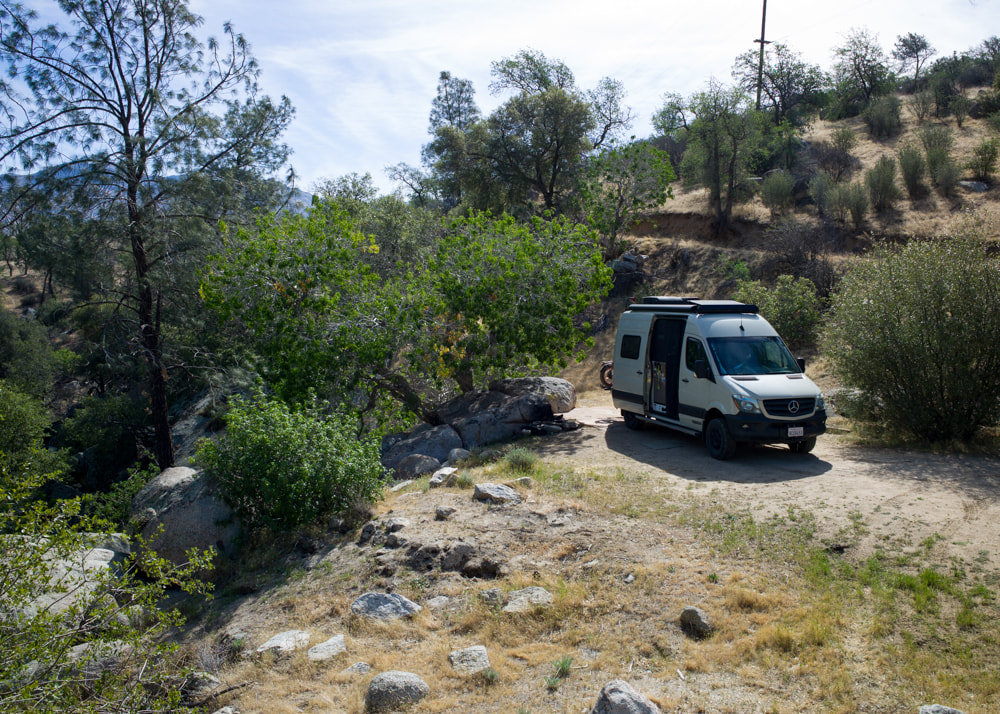
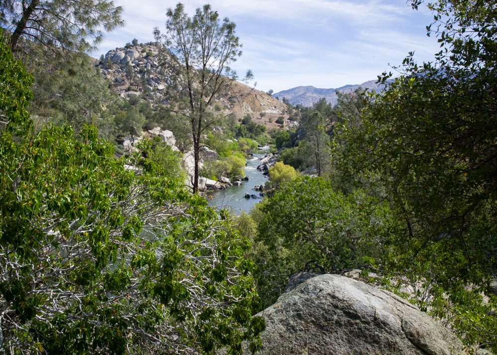
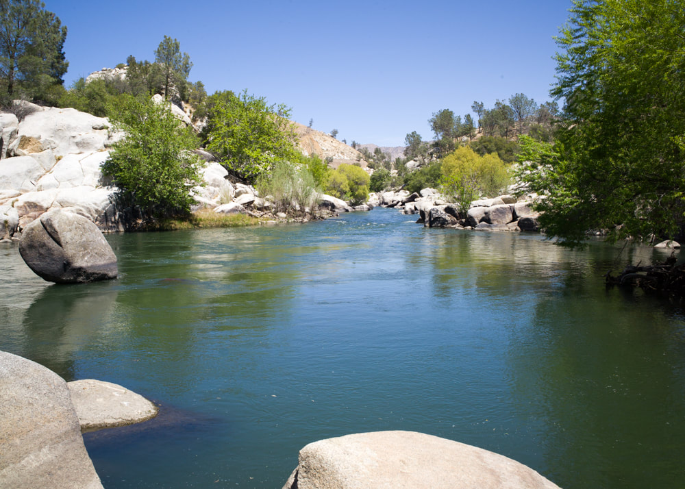
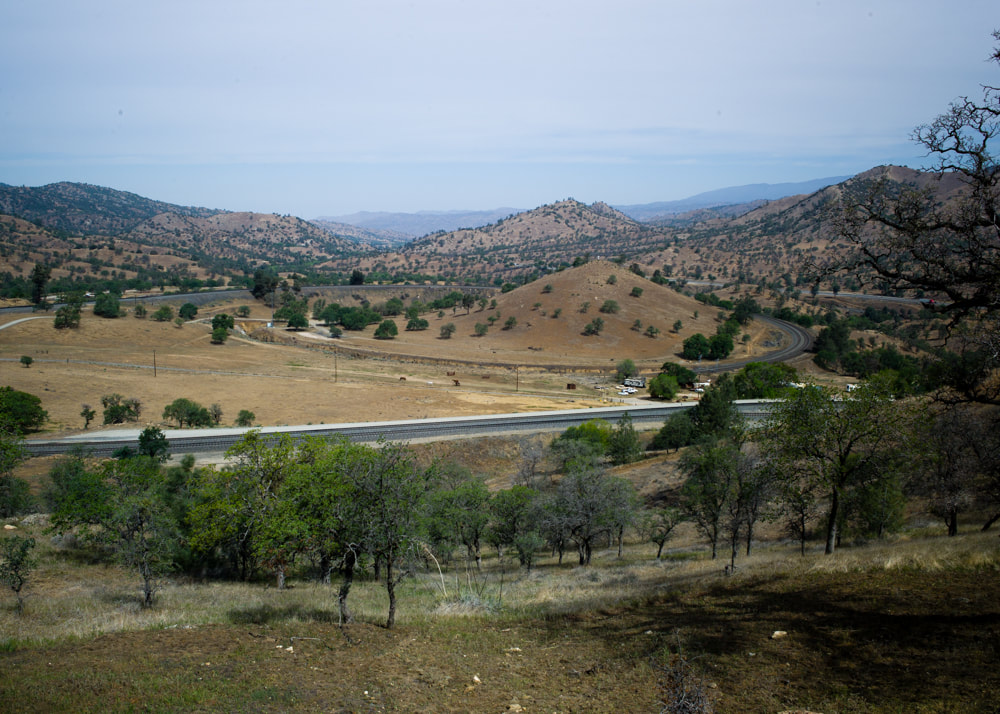
Covid-lockdowns has given me riches of vacation hours. There's no reason why they should go to waste. Two years ago, I took my first solo trip to the Trona Pinnacles, and I've been wanting to do something similar again. So I decided to take a few days off work and visit a few places that's 2-3 hours away from home that's been on my map for quite a while. Fossil Falls was the first stop. I've driven past this place many times, but because it was always in the summer, and it just seemed too hot to visit. As soon as I reached the campsite that's right next to the trailhead, my neighbor, Fred, came over and chatted with me. Fred, who I guess was in his 70's, grew up in the area and had a wealth of information to share with me. He told me about the Little Lake Overlook, which I'm very glad to have visited. To thank him for his knowledge and company, I shared my dinner and breakfast with him. Next day, after promising to see Fred "down the road", I headed west towards Lake Isabella. The original plan was to camp at this place called Rabbit Island that's close to the lake, but in researching for backup camp spots, I found this secluded spot that's next to the Kern River, and I had to check it out. Since it was Friday, I got in early, and expected to see a bunch of disappointed campers that this spot was taken. To my surprise, for the entire time I was there, no one came by. So I had a lot of alone time and did my best to find things to do to take my mind off the 90 degree heat. Next morning, I woke up early to drive to Miracle Hot Springs for a good soak. Then it's time for the next attraction: Tehachapi Loop. You probably have not heard about this place if you're not a train enthusiast. It was built in the 1800's. Due to the train back then did not have enough power to climb the steep grades of these mountains, they designed a loop so the train can pull itself up over the Tehachapi Pass. It's great fun to watch the train loop over itself if that interests you, but alas this was my last stop before I'm heading back to reality. For the full set of images on this trip, [CLICK HERE]
|
AuthorDavid Young Archives
October 2023
Categories
All
|
My Journey into Leica...
A path not to be taken lightly, not without reservations, and not without dedication, but the results can be sweet, OH SO SWEET! This is a documentation of my trials and tribulations into the world of Leica Rangefinder Photography, and I hope you'll enjoy coming along with me.







 RSS Feed

