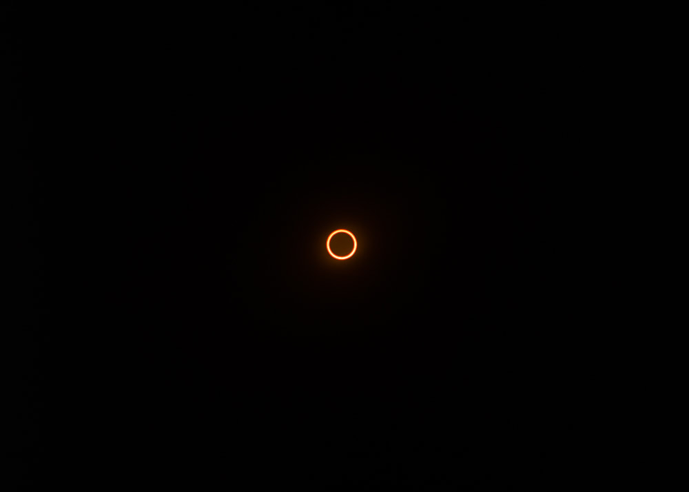
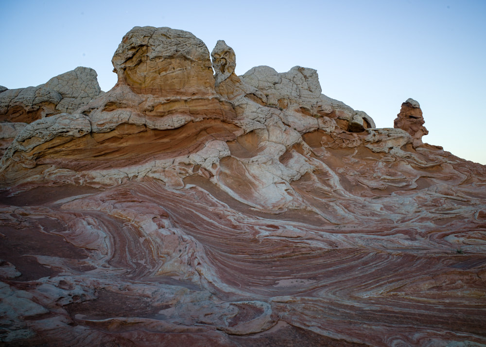
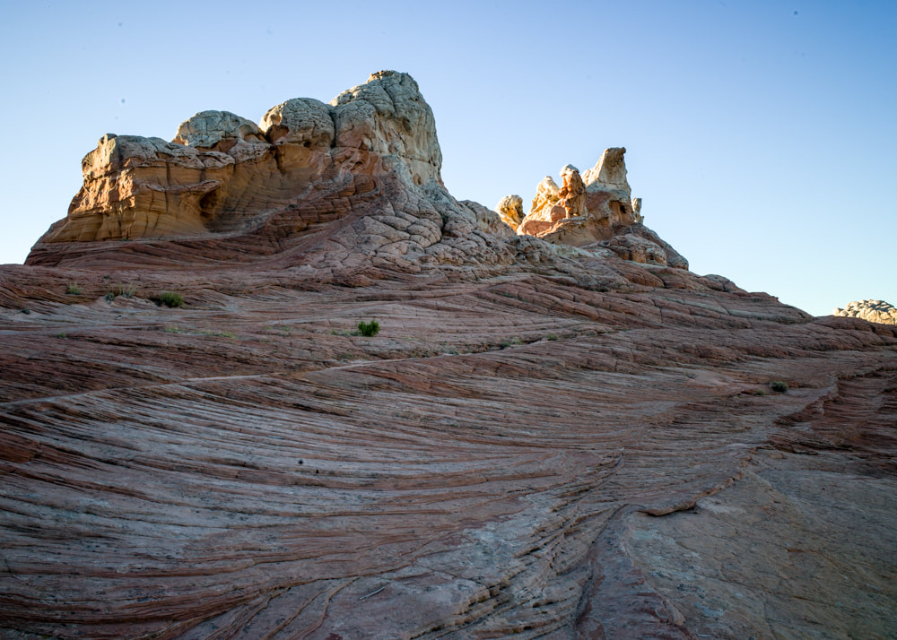
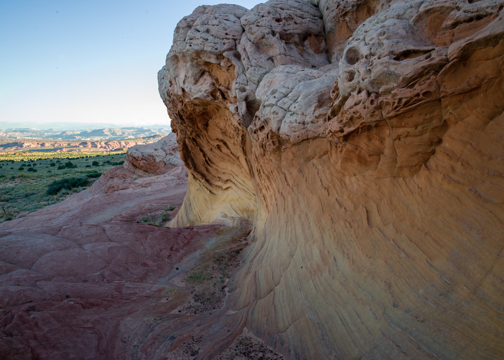
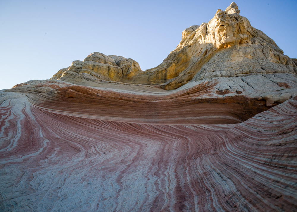
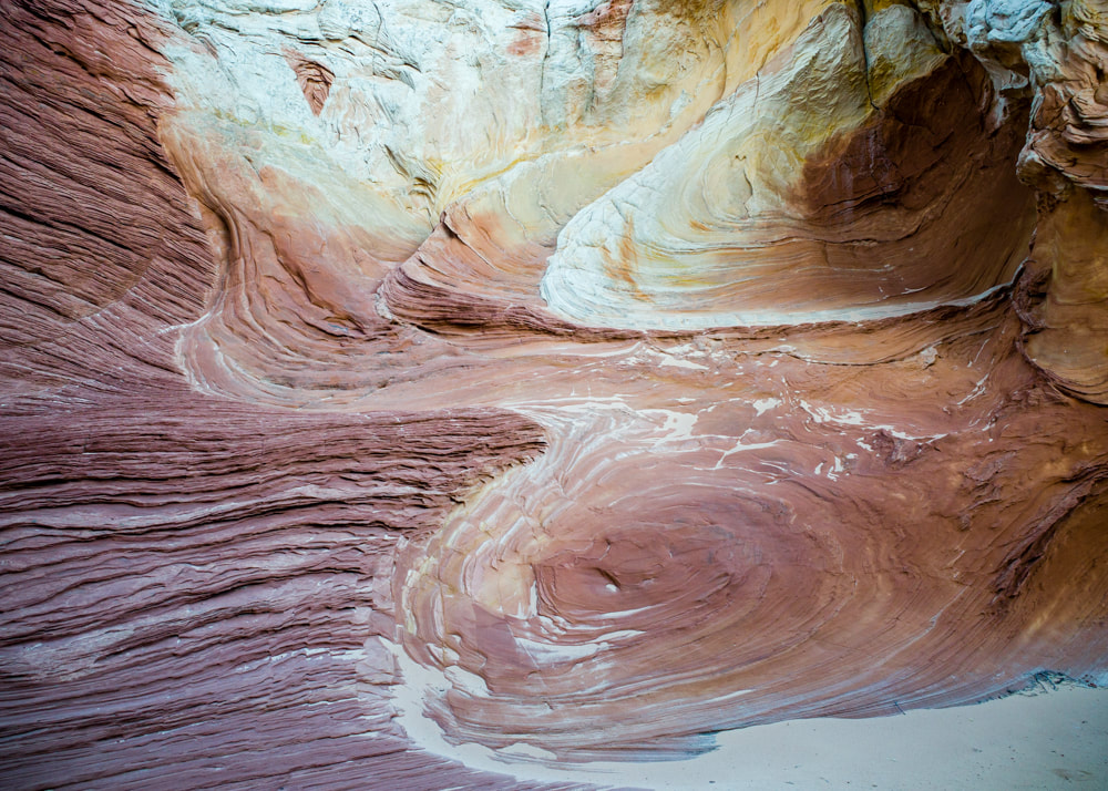
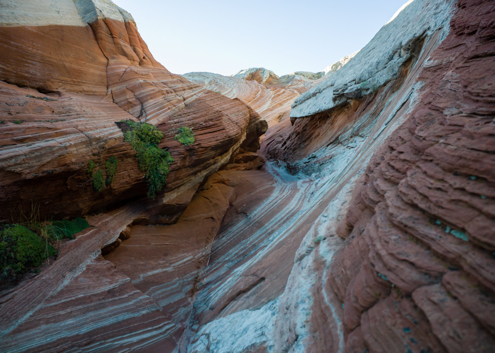
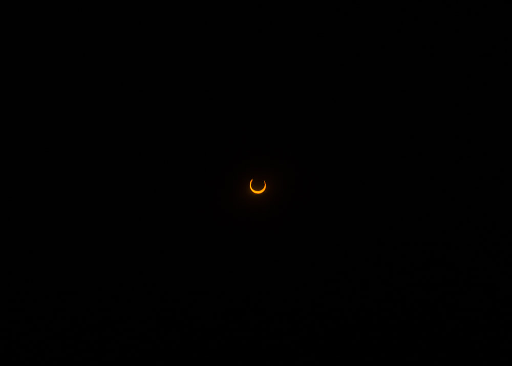
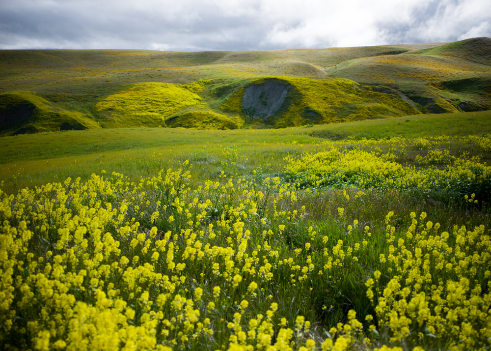
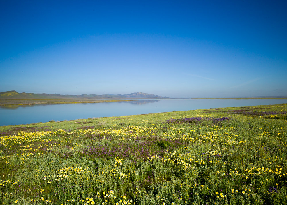
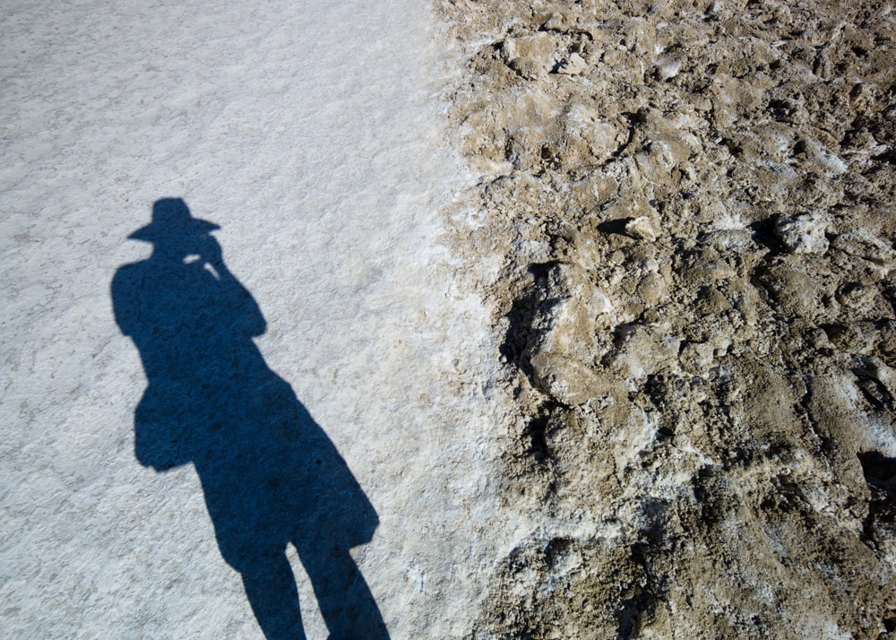
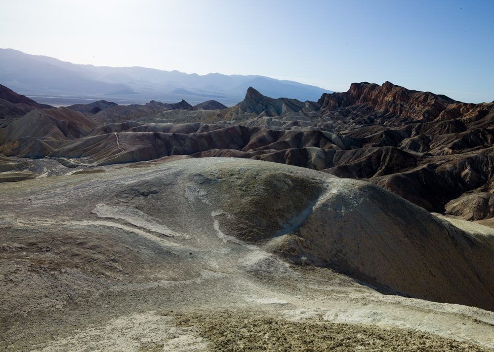
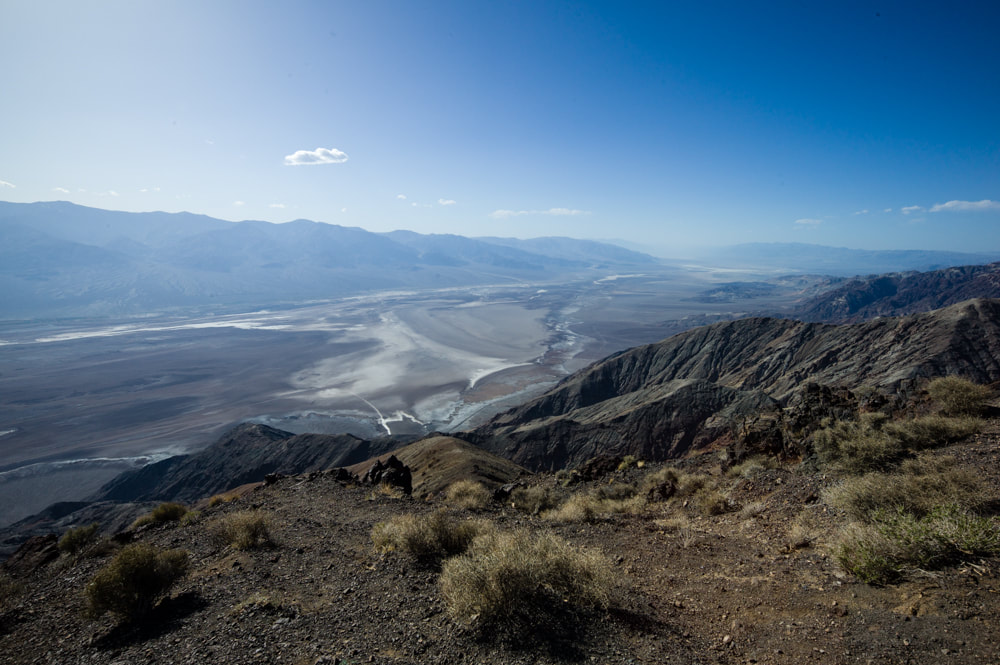
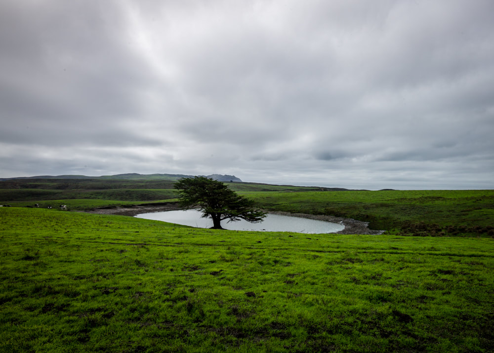
Well, there it is, the highlight of the trip. I tried stacking ND filters, but the easiest way was just to slap my solar eclipse glasses over the lens and take a shot. However, the journey actually started a few days prior to White Pocket. It's usually considered a consolation prize for people not winning the Wave Lottery, but I do think it really stand on its own for its beauty and the freedom of access and exploration.
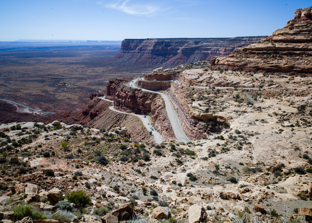
We wanted to watch the eclipse from Muley Point, just up the Moki Dugway, which was packed with campers. We were able to find ourselves a little open area to park up for the night. I had an idea to setup a timelapse video of the moon's shadow moving across the land as the eclipse progressed, but that didn't work out at all. Not only there's no shadow moving, the auto-exposure of the phone camera didn't even capture the dimming of the lights.
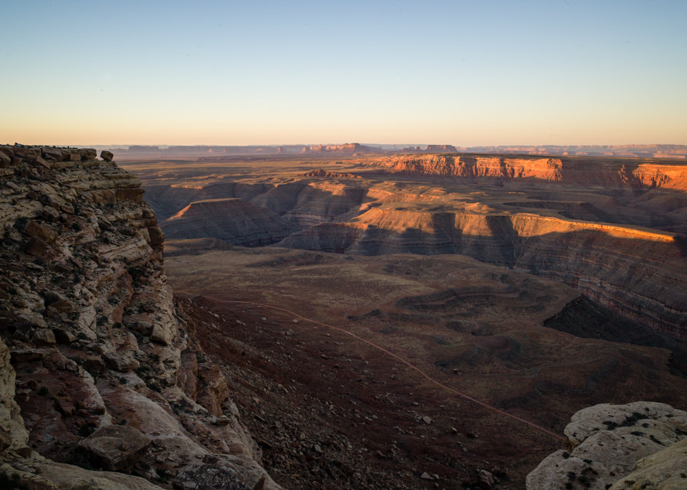
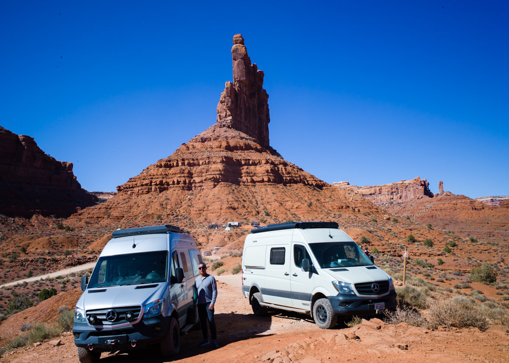
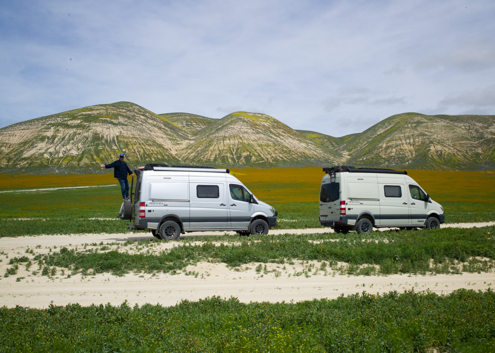
After the eclipse, we waited a little to give other people a chance to clear out before driving down the Moki Dugway ourselves. From there, we visited Valley of the Gods. There, we could see people camping in every nook and cranny of any available pull-outs. Not much photos taken there because a lot of the pull-outs were still occupied by campers and there was a lot of car traffic for both directions.
Throughout the trip, I had "In Search of Sunrise" by DJ Tiesto playing at the back of my mine. While the annular eclipse was cool, I feel it's only a pre-show for the total eclipse next year. Even at its peak, everything was still brightly lit with only 20% of the sun, so I'm really looking forward to see what it'll be like with a total eclipse. I guess I'll find out next April. Here are all the photos from this trip [CLICK HERE].


 RSS Feed

